Blog
Field notes on satellite imagery, tasking, and analysis from the team building our satellite imagery search and delivery pipeline.

The advantages and disadvantages of satellite remote sensing, from cost and speed gains to cloud-cover limits, and how AI now closes most of those gaps.
2026-09-24

Learn how to order satellite images step by step, from picking resolution and sensor type to pricing, delivery, and tasking, for any buyer or project.
2026-09-24

See what a cash crop is, real cash crop examples from farms worldwide, and why cash crop farming looks different in the US, India, Brazil, and beyond.
2026-09-24
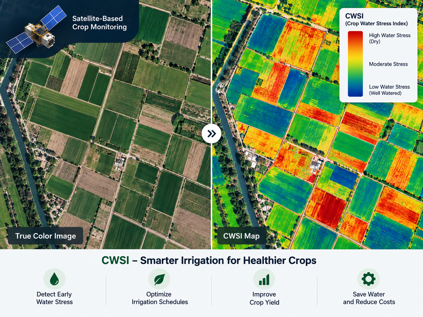
How to tell whether satellite crop stress comes from drought, pests, disease, or nutrient deficiency, using spatial patterns, bands, and indices.
2026-09-22
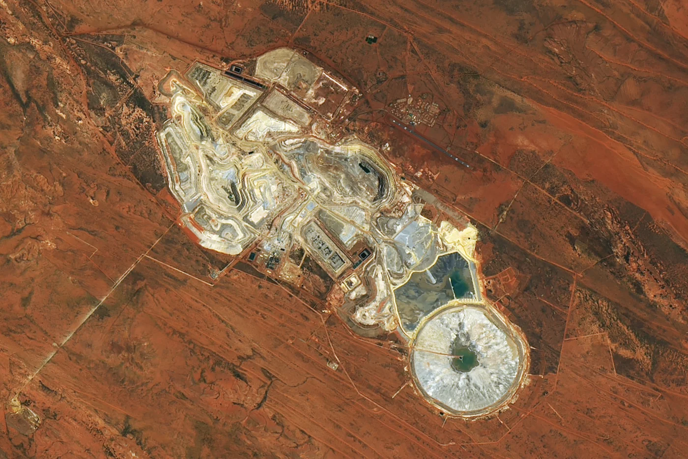
How InSAR, hyperspectral, and radar satellites catch tailings dam failures, slope collapses, and toxic leaks before they turn into lethal mining accidents.
2026-09-22

How satellites detect minerals from orbit, real accuracy figures, gold and copper case studies from Mauritania, Tanzania, Chile, and the DRC, and pricing.
2026-09-22
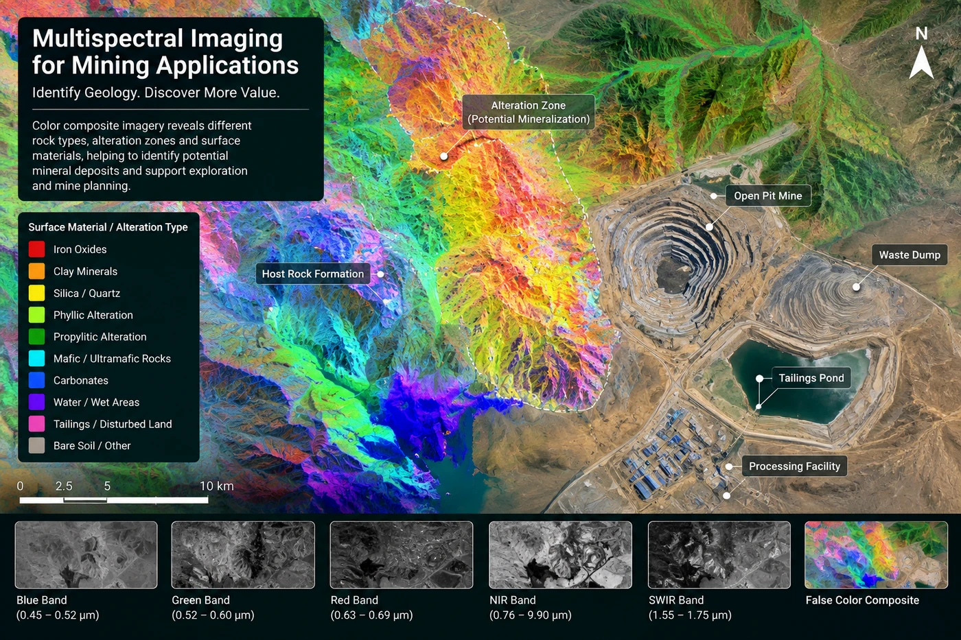
See how satellites track a mine site from mineral exploration and 3D terrain modeling to InSAR safety monitoring, environmental compliance, and closure.
2026-09-22
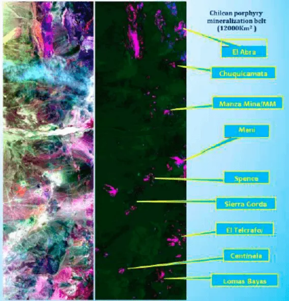
The key mineral alteration signatures satellites detect, diagnostic SWIR wavelengths, band ratios, porphyry zonation, and a real Cuprite, Nevada case study.
2026-09-22

The most reliable satellite data sources for underwriting crop risk when a county's historical yield records are incomplete, from archives to AI models.
2026-09-22
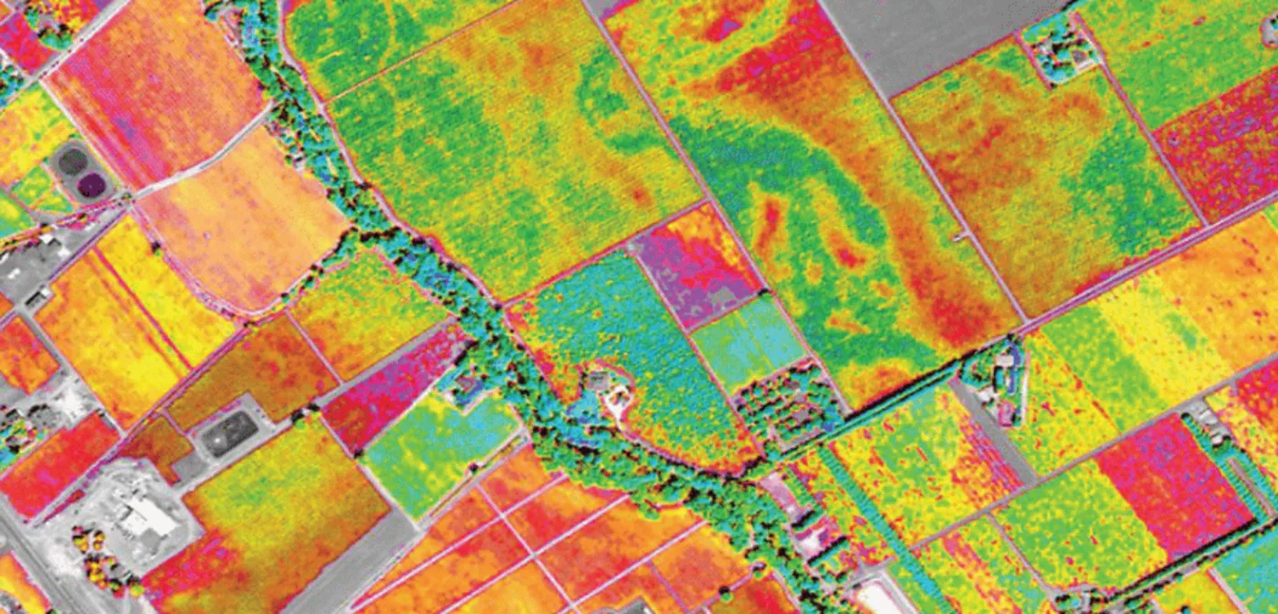
Multispectral imaging explained, how sensors capture NIR and SWIR bands, real NDVI examples, and how it compares with hyperspectral imagery.
2026-09-22

The types of aerial imagery for crop assessment span satellites, airplanes, and drones, each suited to a different resolution, cost, and revisit need.
2026-09-17
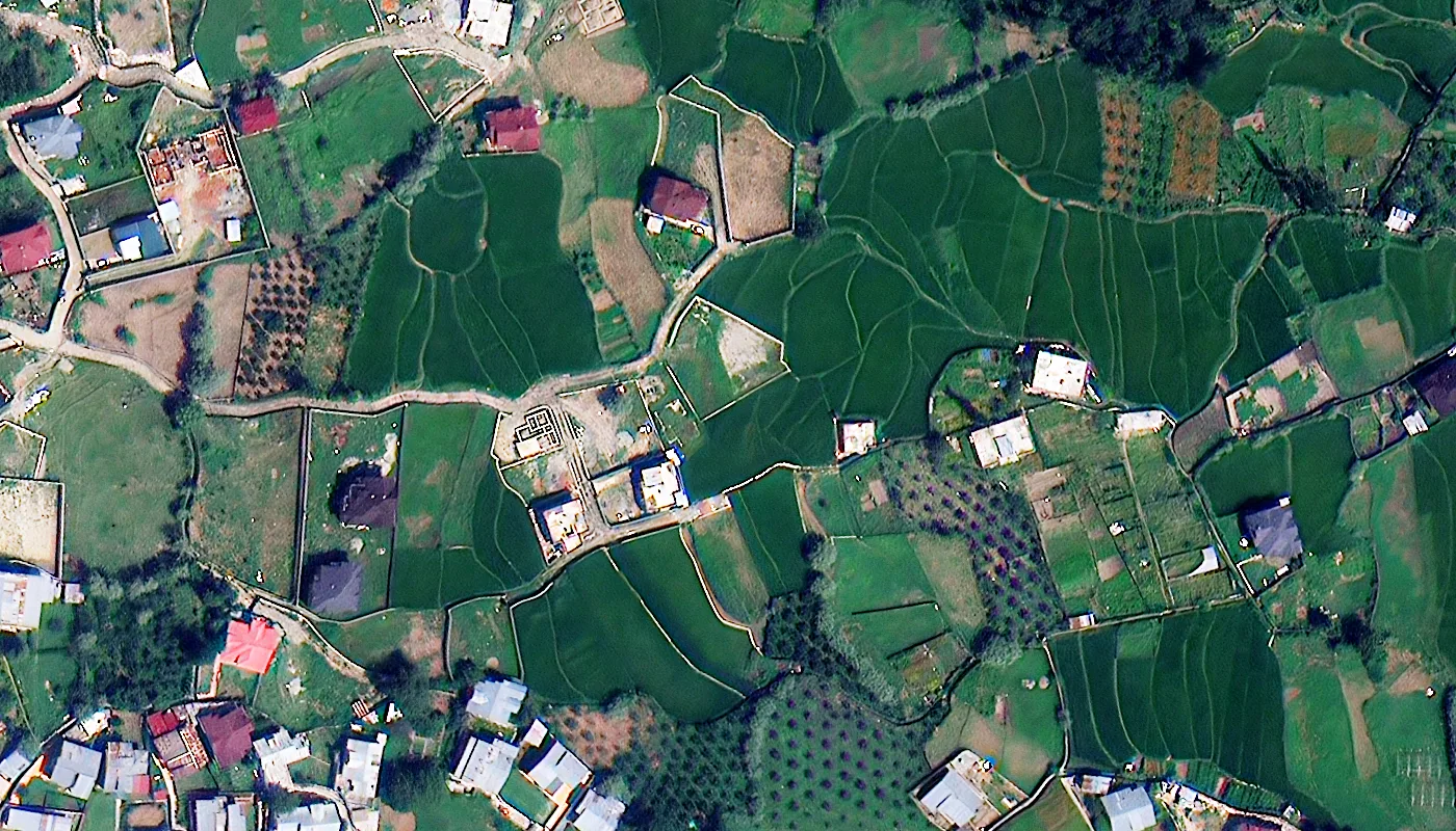
The best satellite resolution for agricultural imagery ranges from 25 cm for pest scouting to 30 m wide-swath data for regional yield modeling.
2026-09-17

Crop diseases, whether bacterial, fungal, viral, nematode, or parasitic, cause up to 40% of global crop loss. Learn symptoms, causes, and control methods.
2026-09-17

Satellite imagery tracks crop growth stage by stage using NDVI, NDRE, thermal, and radar data, from emergence through harvest, without a field visit.
2026-09-17
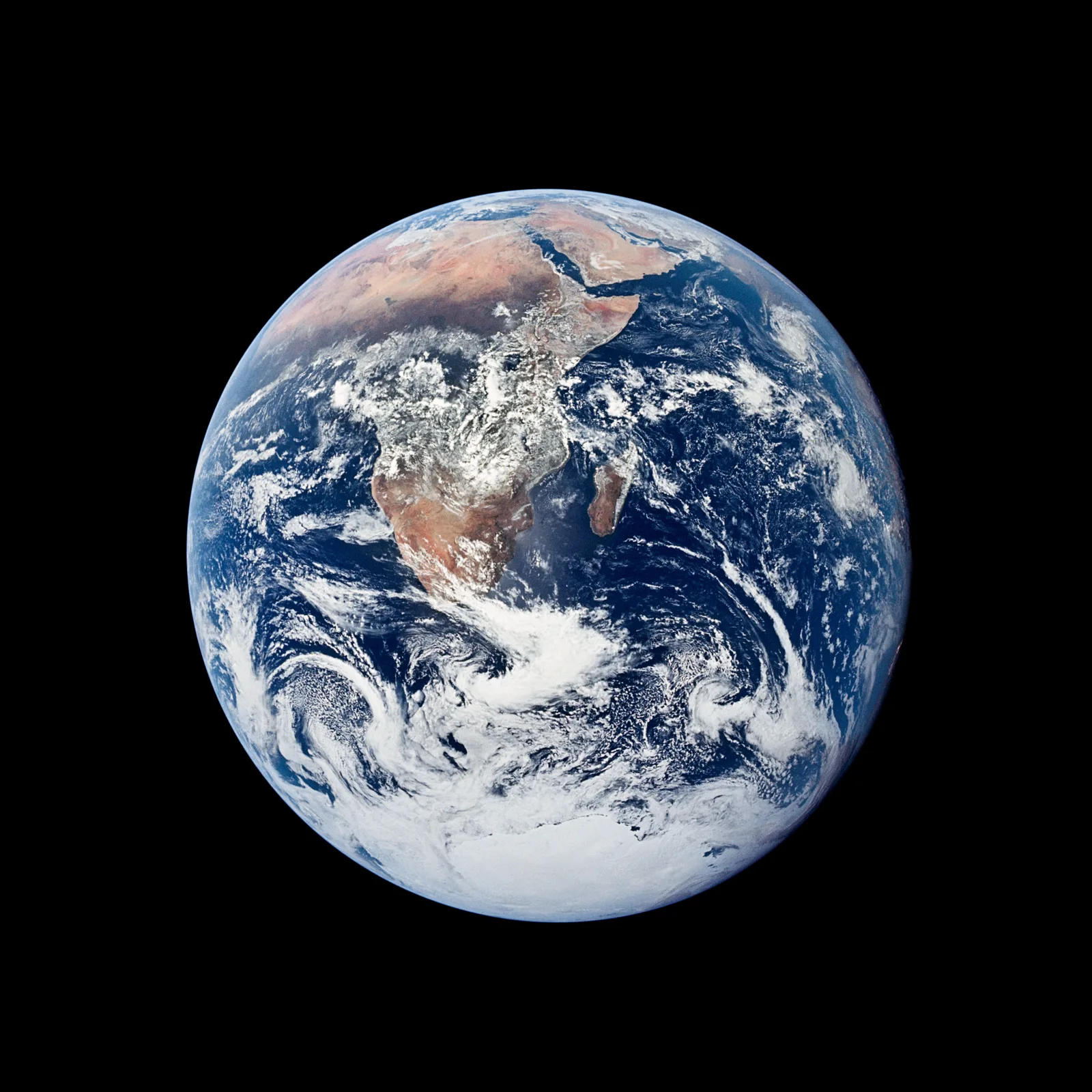
Real photos of Earth from space, from the first 1959 satellite image to Artemis II's 2026 Earthset, each with its capture date and NASA credit.
2026-09-17
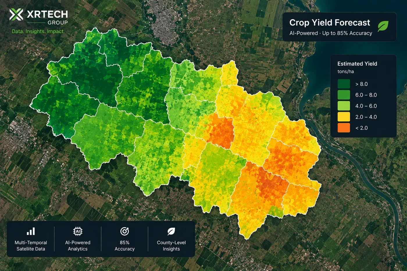
Yield estimation from satellite imagery uses NDVI, multispectral, and AI to forecast crop yields before harvest, up to 85% accuracy county-wide.
2026-09-17

Satellite imagery detects crop stress and disease using red edge, yellow band, and NIR data, often over 90% accurate, before symptoms appear.
2026-09-17
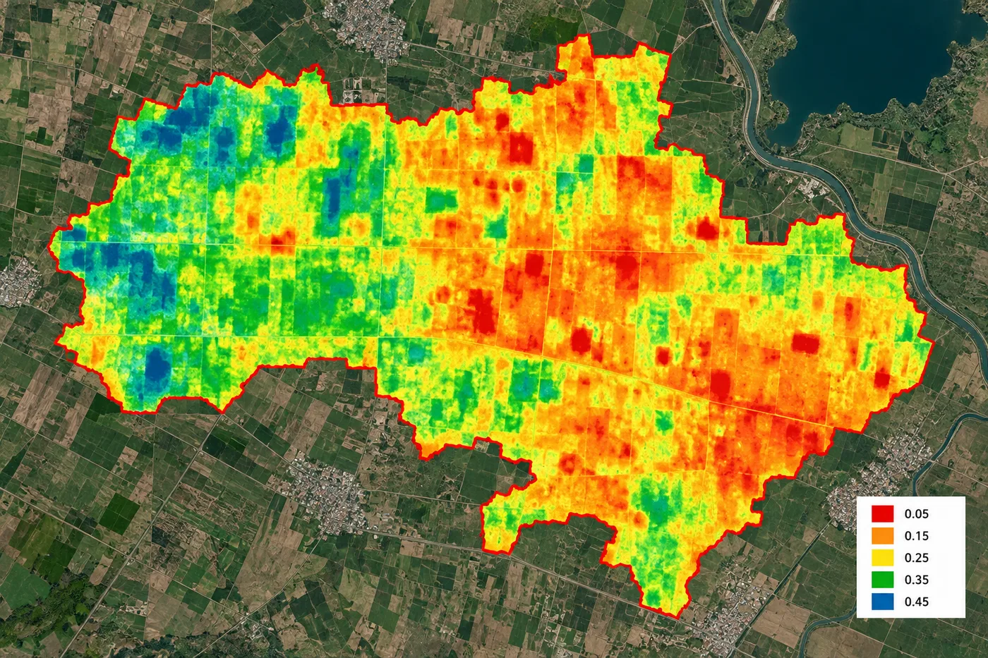
Satellite optical and radar imagery maps field-scale soil moisture and canopy water stress, powering data-driven irrigation scheduling and drought alerts.
2026-09-17
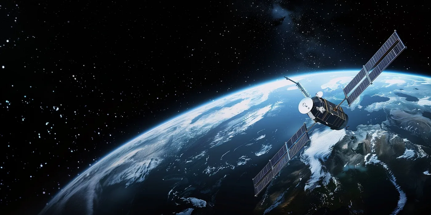
Compare 14 free satellite imagery sources by resolution, update frequency and download options, from Sentinel-2 and NISAR to Google Earth.
2026-09-10
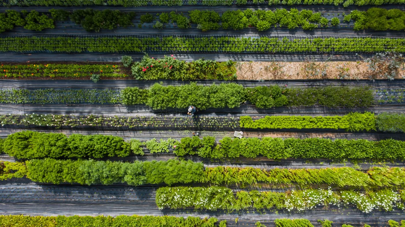
Multiple cropping explained in plain terms: intercropping, relay, and sequential cropping types, real land-equivalent-ratio and yield data, historical examples from Egypt to the Maya, and how satellite imagery tracks cropping intensity field by field.
2026-09-10
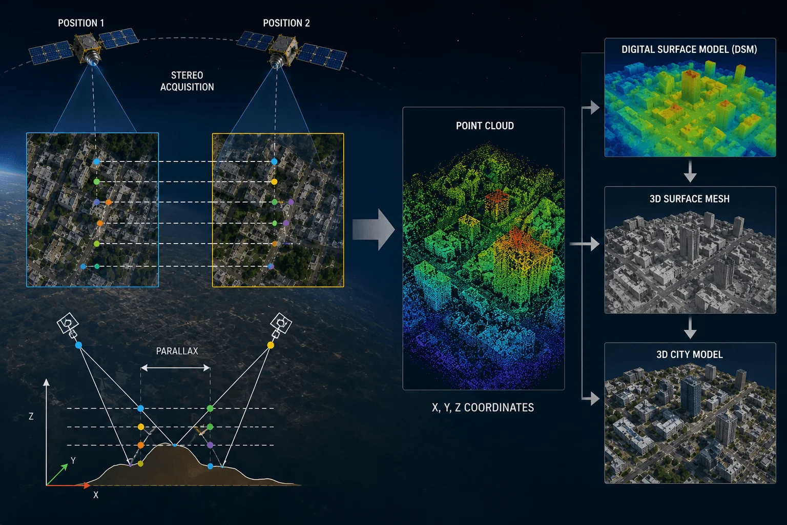
How stereo and tri-stereo satellite imagery becomes DEMs, DSMs, building white models, and 3D digital twins, plus the satellites, workflow, and pricing behind it.
2026-09-09
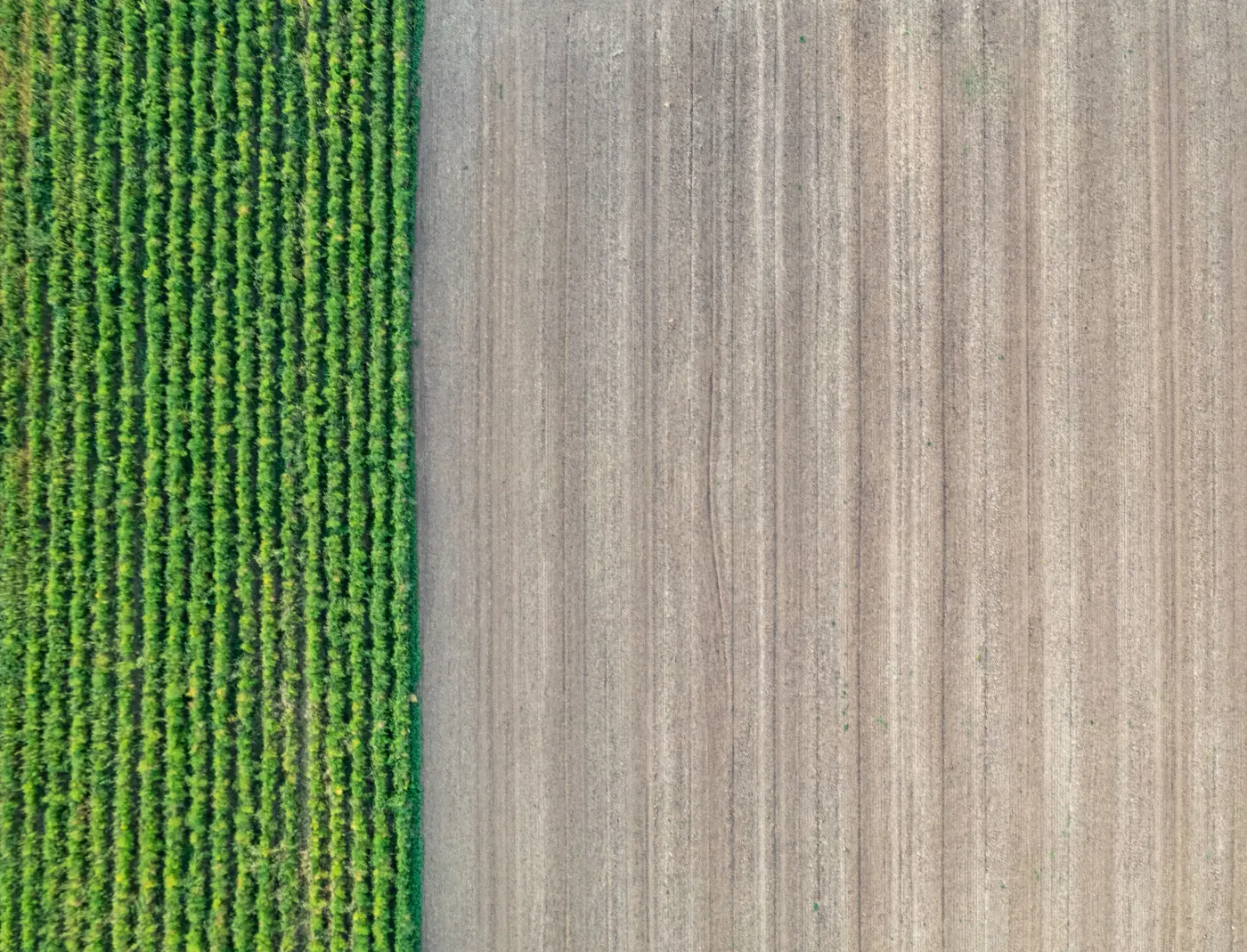
The advantages of crop rotation, from a 38% yield boost to 39% lower nitrous oxide emissions, explained with real research data, a rotation-planning table, and how satellite imagery verifies crop diversification compliance.
2026-09-09
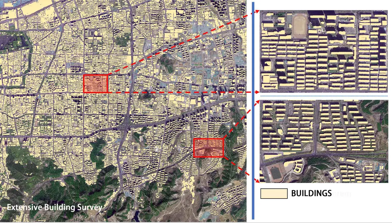
How AI change detection turns before-and-after satellite imagery into building footprints, illegal construction alerts, and subsidence monitoring for growing cities.
2026-09-09
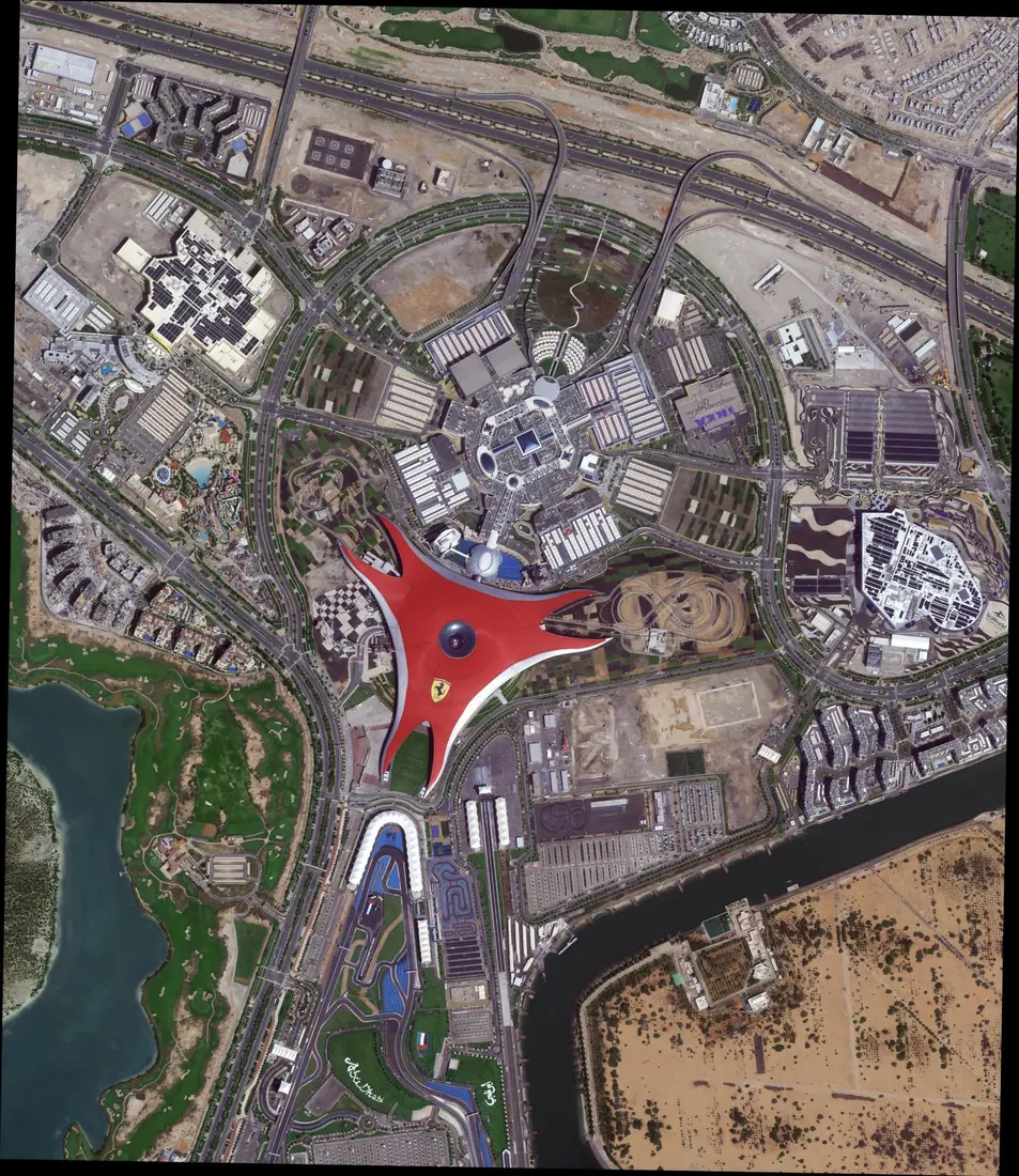
Every satellite resolution tier explained, from 15 cm super-high to 30 m hyperspectral, with satellites, pricing, and what each pixel size actually shows.
2026-09-09

How satellite DEM images turn flat maps into 3D terrain for flood simulation, watershed mapping, and emergency response, with the accuracy specs that actually matter.
2026-09-09

How multi-spectral and hyperspectral satellite imagery tracks canopy health, catching disease, illegal logging, and fire risk before the damage becomes visible on the ground.
2026-09-09

How hyperspectral satellites map gold, copper, and iron ore signatures invisible to the eye, with satellite specs, a step-by-step workflow, real case studies, costs, and an FAQ.
2026-09-09

How satellite imagery and SAR give insurers time-stamped, legally verifiable evidence for pre-loss risk assessment, claims verification, fraud reduction, and faster payouts.
2026-09-09
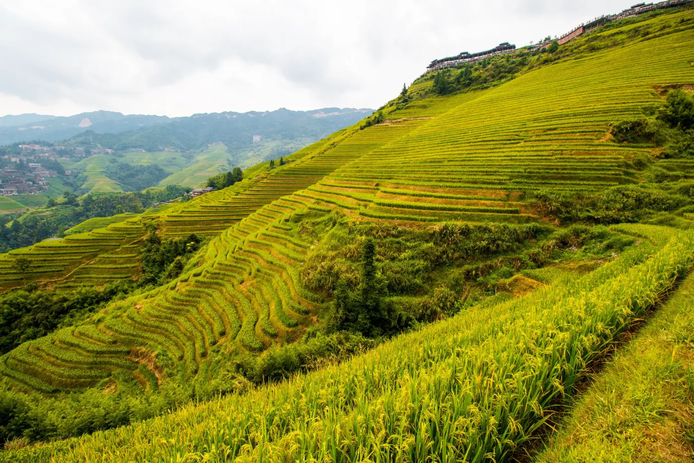
Intensive subsistence farming explained: definition, characteristics, and how it differs from extensive and commercial agriculture, plus where it's practiced today and how satellite tools now reach smallholder farms.
2026-09-09

How radar satellites see through cloud, smoke, and darkness to map floods, oil spills, landslides, and wildfires when optical imagery can't.
2026-09-09
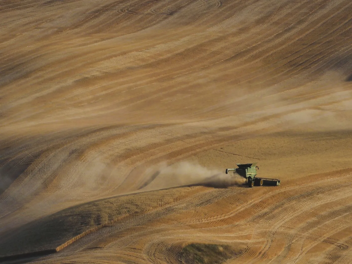
15 proven soil conservation methods and techniques, from contour farming and no-till to cover crops and terracing, with real erosion-reduction data and how satellite imagery tracks results field by field.
2026-09-09
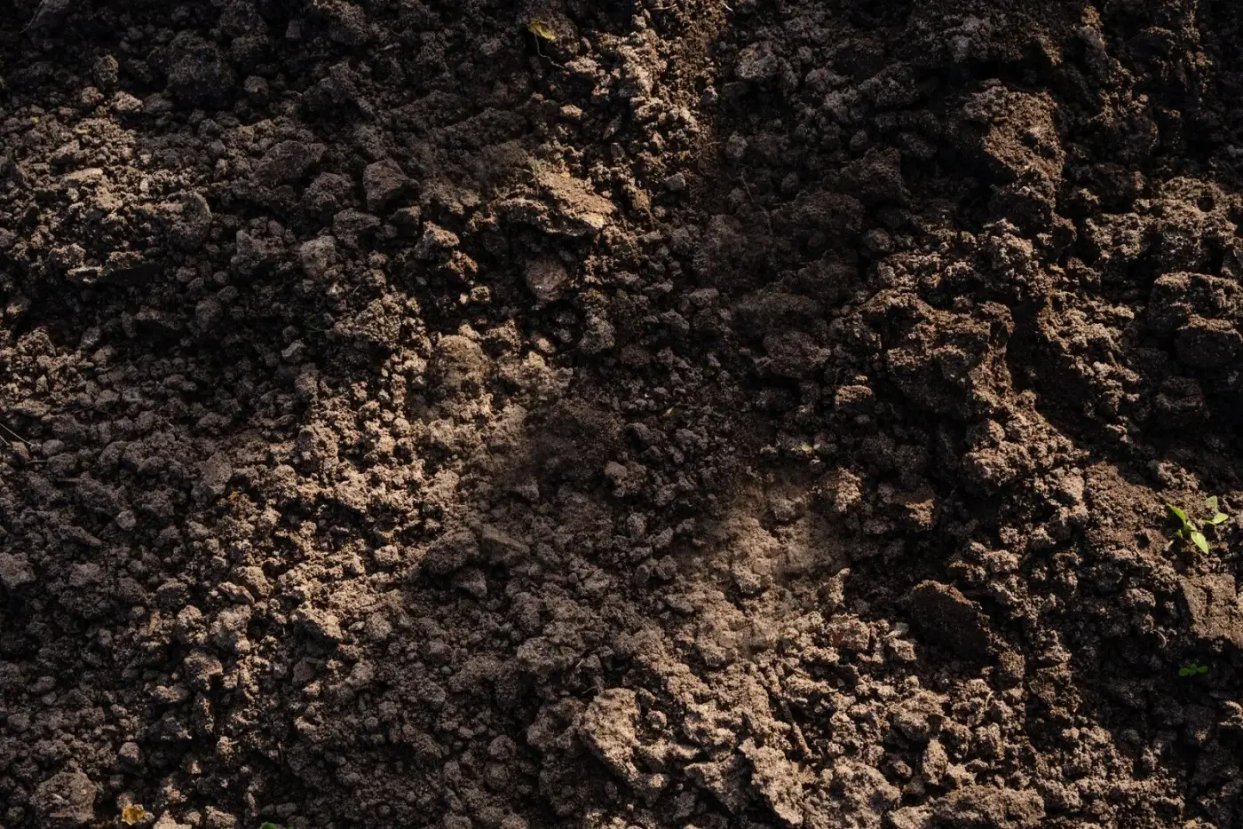
Sand, clay, silt, loam, chalk, and peat compared by drainage, pH, and fertility, plus the USDA's 12 soil orders, the texture triangle, and how satellite imagery now maps soil types at scale.
2026-09-09

How satellite imagery supports precision agriculture, from NDVI and NDRE crop-health mapping to soil moisture, yield estimation, and irrigation planning.
2026-09-04

A quick decision guide for choosing between existing archive imagery and new satellite tasking.
2026-04-30
Radar's day-night, all-weather advantage makes it the default choice for vessel tracking and spill detection.
2026-04-18
See what 0% to 30% cloud cover really means, whether it covers your exact site, and how to search an imagery archive for a clear, usable scene.
2026-03-22
