
The easiest way to buy satellite imagery online. Order archive imagery, ready in seconds, or task a fresh capture of any location, from 25cm to 2m resolution, with your price shown on screen before you order. Optical, SAR, hyperspectral, multispectral and DEM data, all from one portal of leading satellite providers.
Buy satellite imagery online starting at $1 per square kilometer: archive imagery ready in seconds, or new tasking for an up-to-date view, up to 25cm resolution and daily revisit on our highest tier.
Search our catalog from leading satellite providers, set your cloud cover, and pick the best scene for your project, with pricing shown upfront and no waiting on quotes.
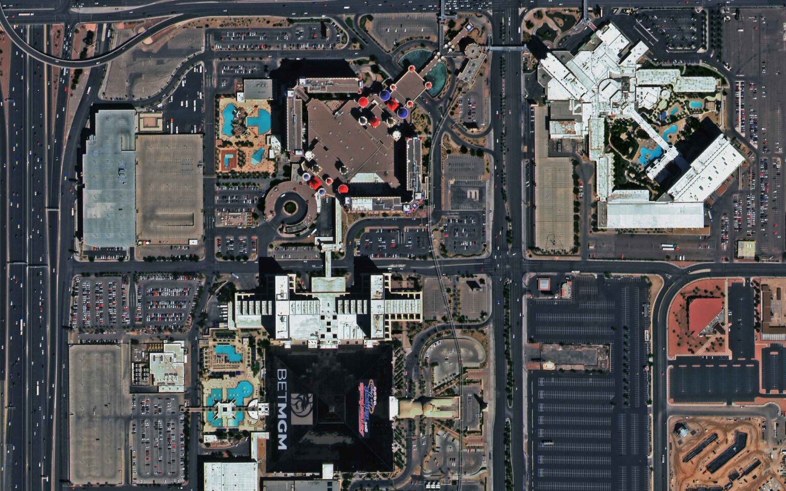
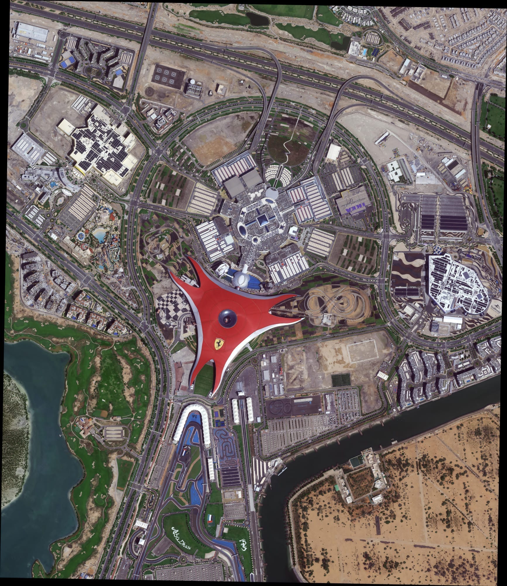
Ultra-clear imagery for detailed mapping, urban planning and infrastructure monitoring, built for precise, large-scale analysis.
View Details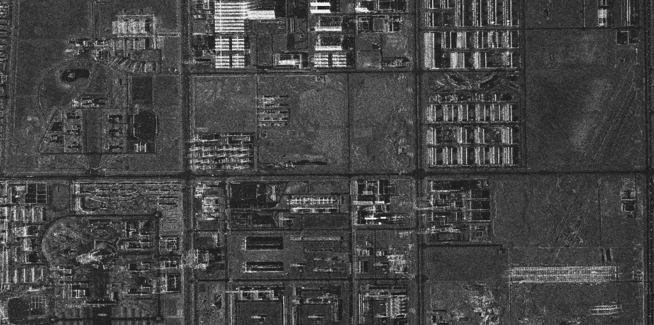
All-weather, day-and-night X-band and L-band radar imagery that sees through cloud, rain and darkness, essential for flood mapping, telecom infrastructure monitoring and environmental surveys.
View Details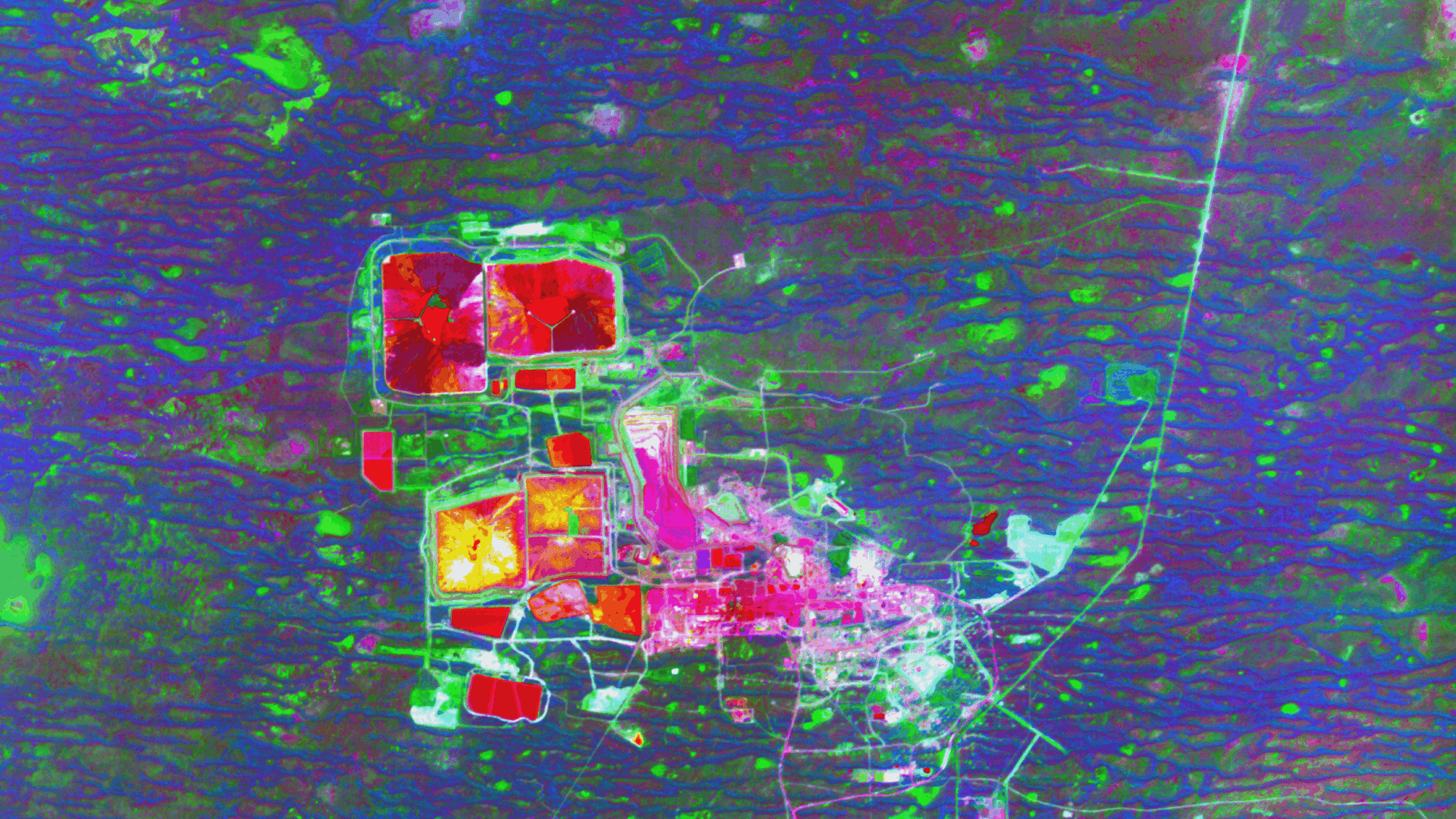
300+ spectral bands for mineral exploration, vegetation stress analysis, pollution detection and farm optimization, read directly from orbit.
View Details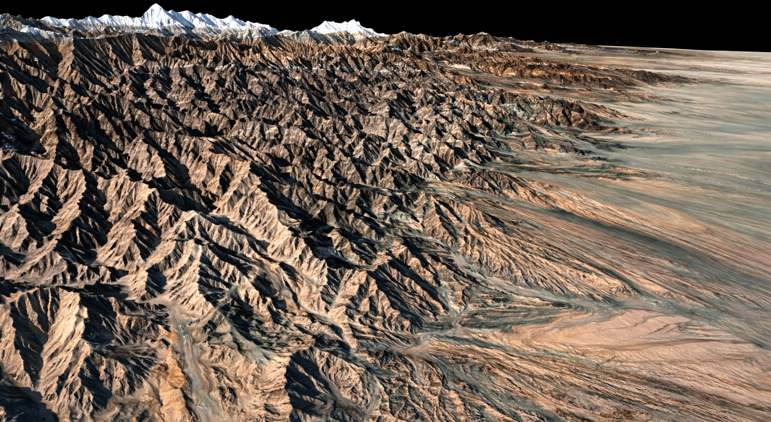
High-accuracy DEM, DSM and DTM data built from SuperView stereo tasking, with vertical accuracy to within ±3m RMSE, for terrain modeling, flood planning and 3D city models.
View Details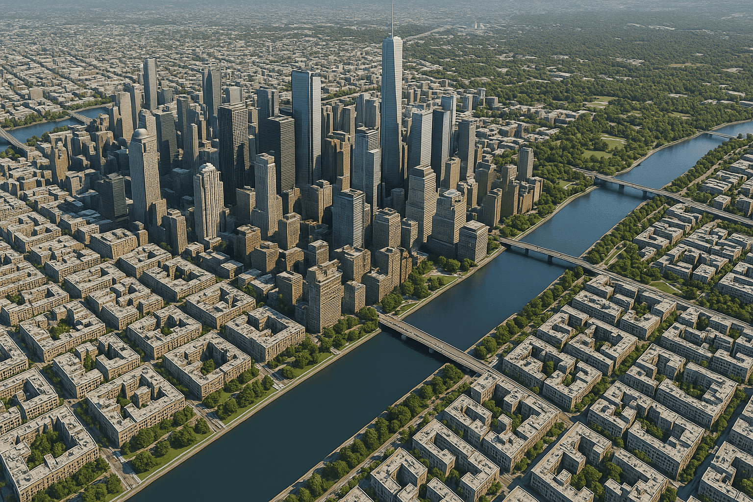
Building footprint extraction, urban 3D models and digital twin services from stereo satellite tasking, with sub-metre accuracy for city planning, infrastructure design and smart-city projects.
View Details
Processed, analysis-ready geospatial products, orthorectified imagery, change detection, object classification and AI-driven analytics, delivered in GeoTIFF, KML and standard GIS formats.
View DetailsOur satellite imagery gives industries accurate data and actionable insights, so teams can make better decisions faster.
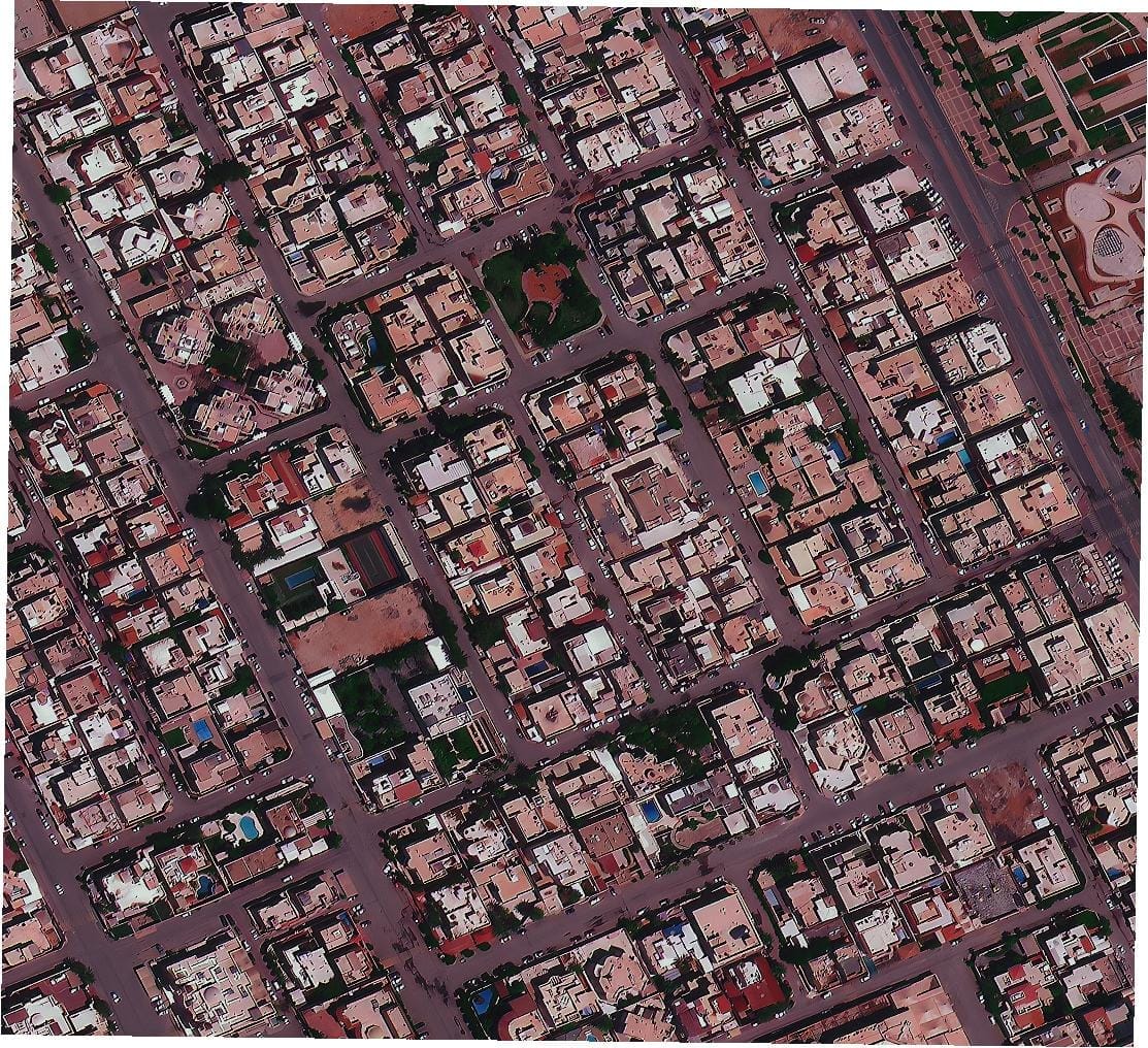
High-resolution satellite imagery and advanced analytics help you plan smarter cities, monitor infrastructure and support sustainable growth.
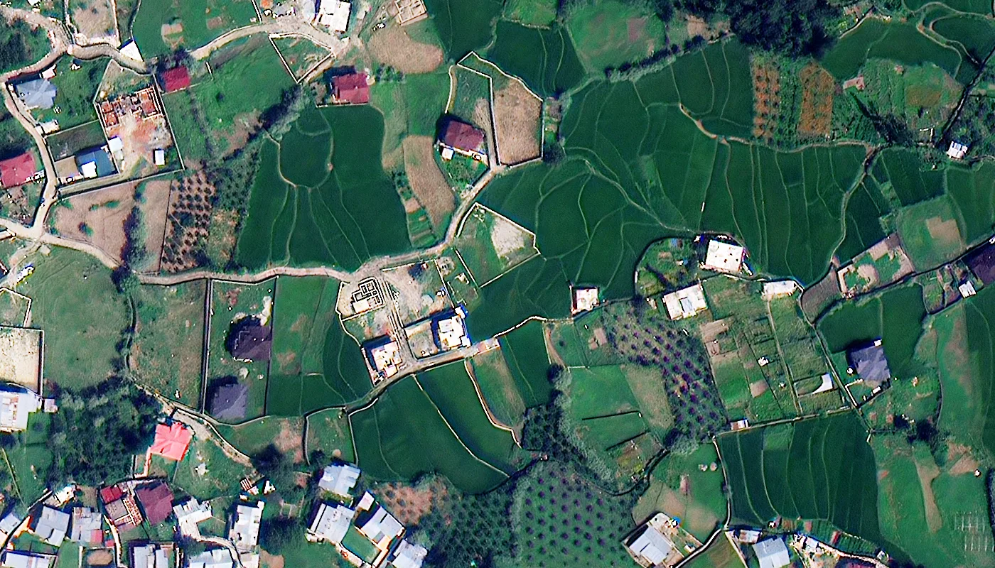
Track crop health, soil conditions and field boundaries from space. Make faster decisions and improve yields across every growing season.
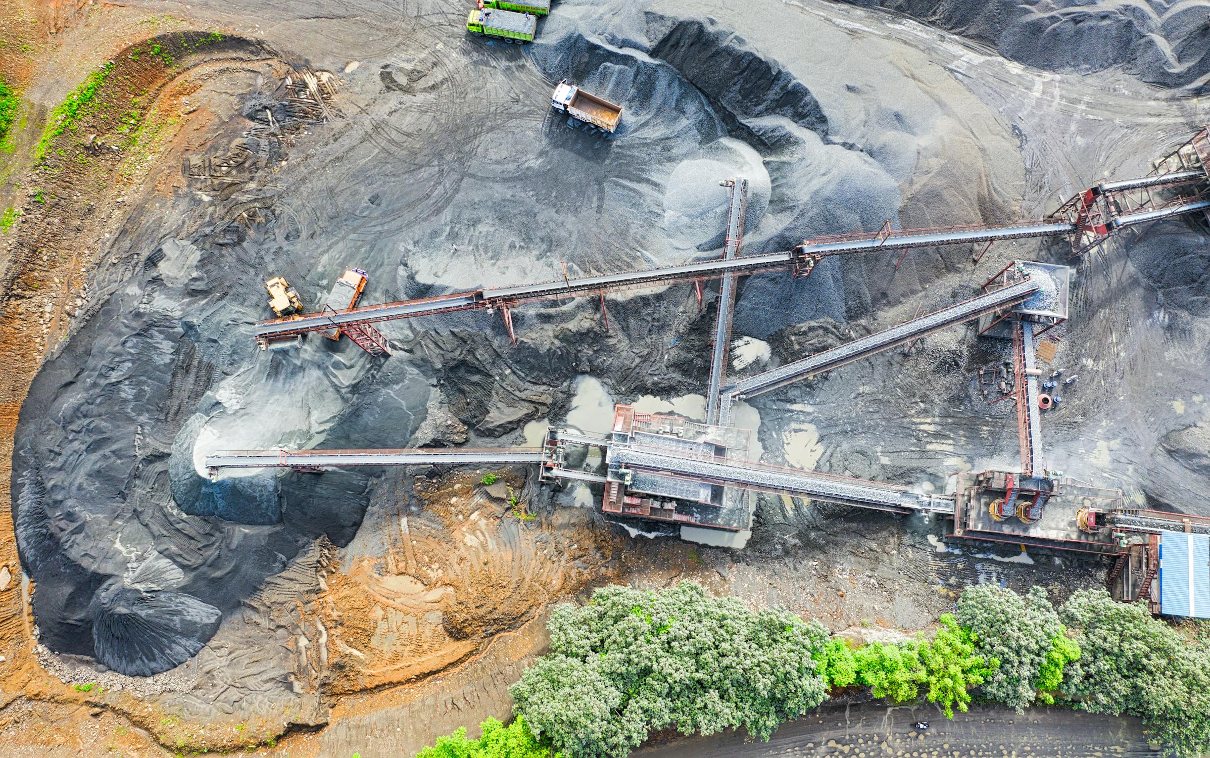
Map pits, stockpiles and haul roads with centimeter-level precision. Track volume changes and plan operations with confidence.
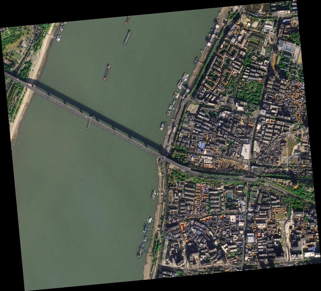
Monitor forests, coastlines and water bodies at global scale. Detect change early and support conservation with reliable data.
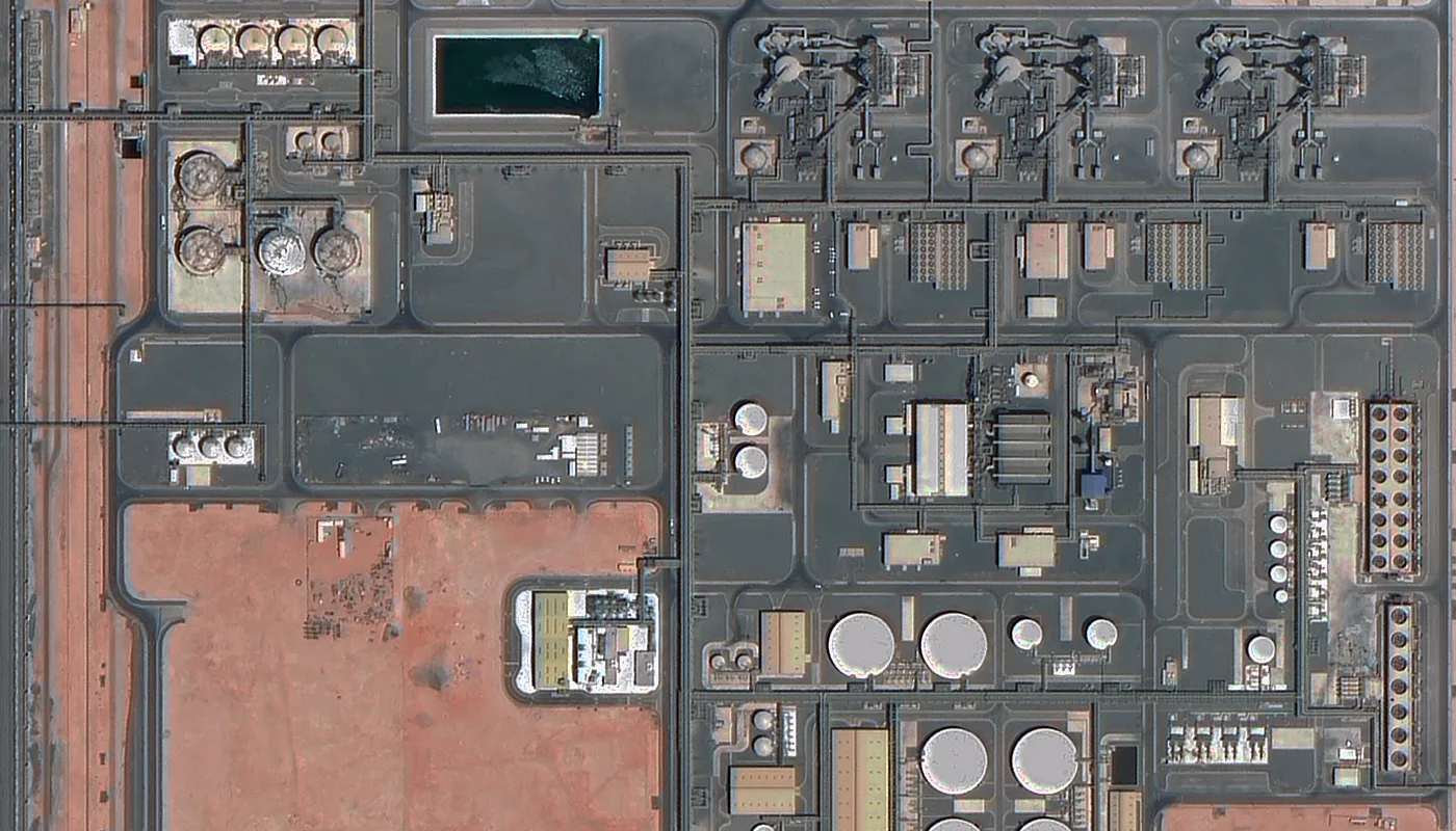
Keep watch over pipelines, refineries and remote facilities. Spot leaks, monitor construction and protect critical assets.
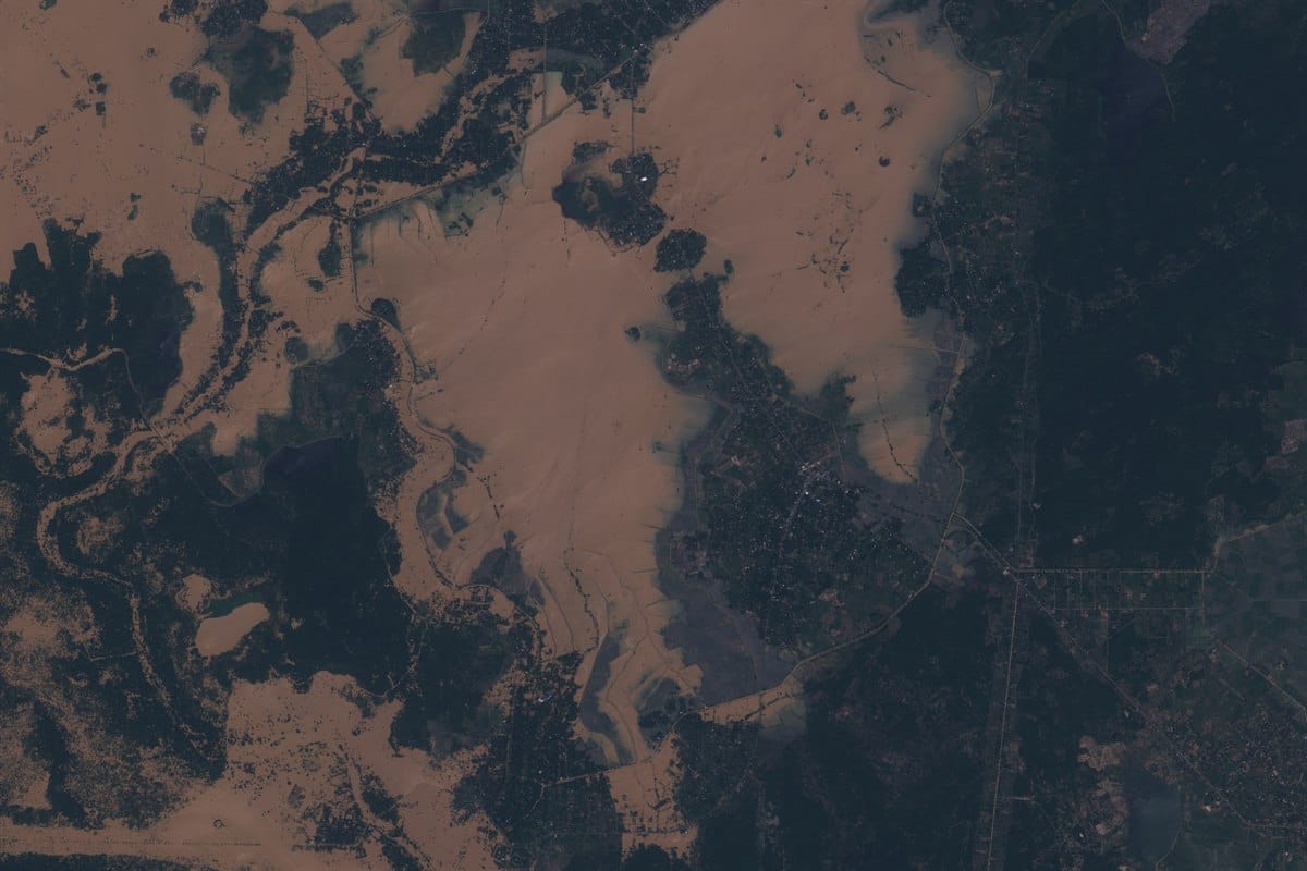
Get fast imagery tasking after floods, fires and storms. Compare before and after scenes to guide relief and recovery.
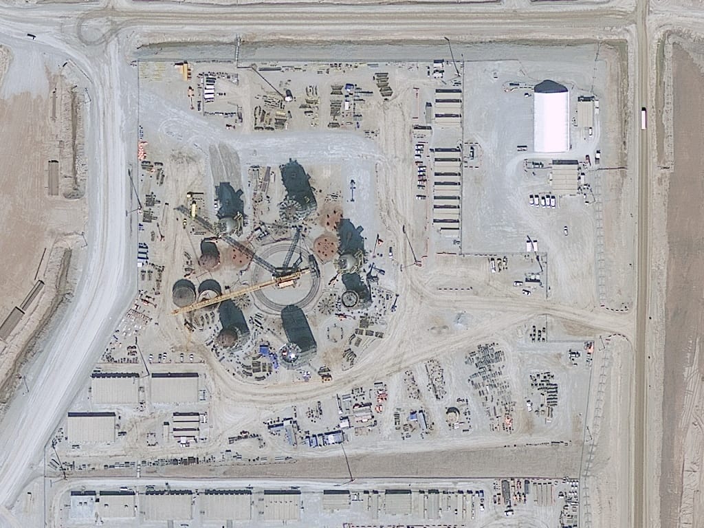
Track construction progress week by week from above. Measure earthworks, verify boundaries and stay on schedule.
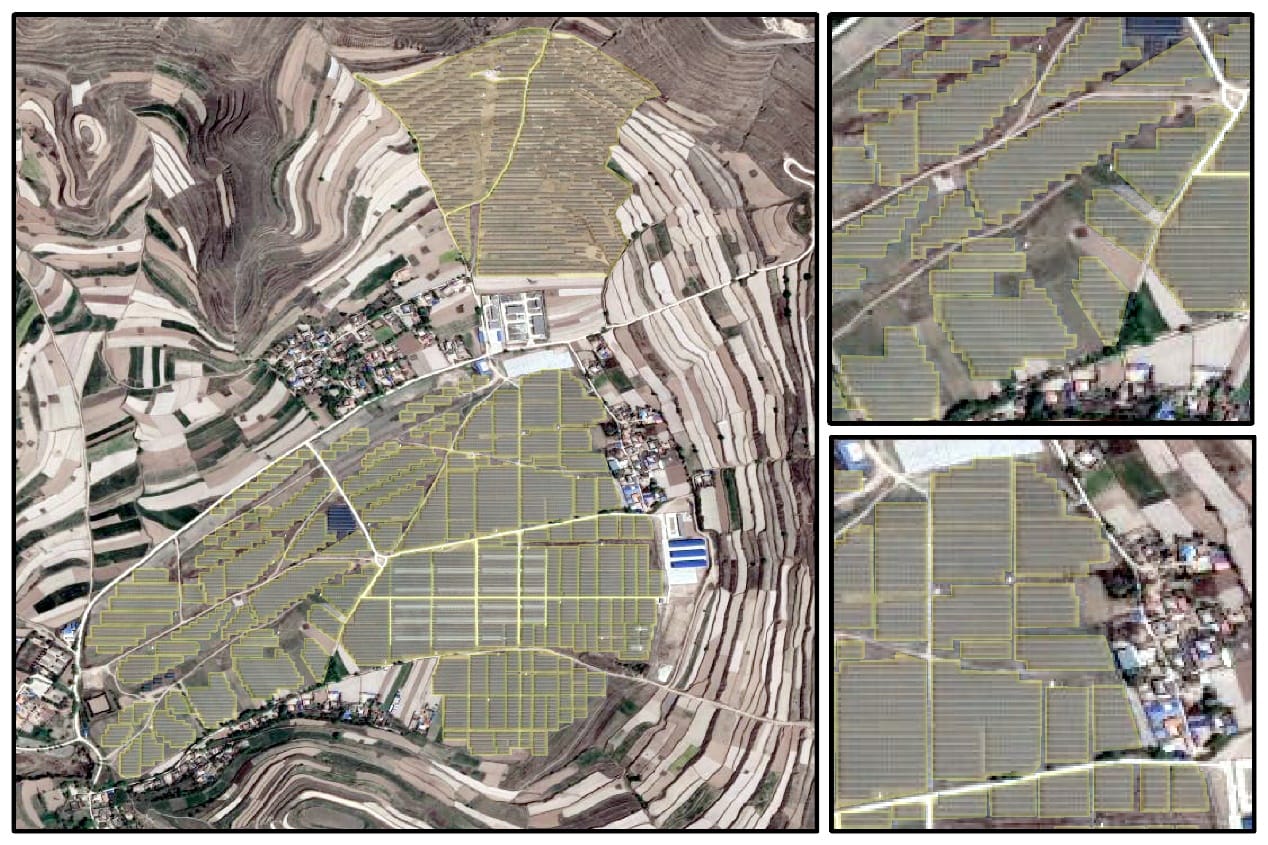
Inspect power lines, pipelines and utility corridors from orbit. Spot vegetation risk and plan network upgrades faster.
Satellite imagery pricing starts at $1 per square kilometer for 2m archive imagery, and reaches $80 per square kilometer for 25-30cm emergency tasking. Buy satellite imagery by resolution tier, from 25-30cm to 30-50m, with archive, new tasking, priority and emergency options priced instantly based on your area, resolution and delivery speed.
Priority and Emergency tasking are not available at this resolution tier.
Priority and Emergency tasking are not available at this resolution tier.
From drawing your area of interest to getting your imagery delivered, here's how the portal takes you from search to purchase in five simple steps.
Draw a shape directly on the map, upload a KML/KMZ or shapefile, or enter coordinates and a size. The portal measures your area of interest instantly.
Pick archive or new tasking, set your resolution tier and capture mode, from standard planned tasking to priority or emergency delivery.
Your price appears on screen the moment you set your area and requirements, based on resolution, area size and delivery speed, no waiting on a quote.
Browse available captures for your area, preview thumbnails and cloud cover, and pick the best-matching imagery for your project.
Submit your request and our team confirms it. Archive imagery is ready in seconds, new tasking typically delivers within 7 days, with priority and emergency options for faster turnaround.
Everything you need to search, order and receive commercial satellite imagery, in one portal. Buy Satellite Images is the imagery ordering portal of XRTech Group, a geospatial and satellite intelligence company with worldwide coverage through a network of 130+ satellites.
Buy satellite imagery from $1 per square kilometer. View the full price before you order, calculated instantly by area, resolution and sensor selection, with no quotes, negotiations or hidden fees.
Order high resolution satellite imagery and geospatial datasets in minutes through a self-service workflow, with fast delivery that integrates directly into your GIS tools, analytics pipelines or cloud environment. Purchase on demand, whether you need a single dataset or recurring access.
Purchase commercial satellite imagery across optical, SAR, stereo and multispectral sensors, all through one ordering process.
Order imagery from a constellation of over 130 satellites, covering optical, SAR, stereo and hyperspectral data for any terrain.
Get satellite imagery in under 7 days and DEMs in under 21 days, with sub-meter resolution meeting CE90 and RMSE accuracy standards.
Buy satellite imagery in GeoTIFF, SHP, DWG or UTM formats, with order sizes that scale to your project and no export license delays.
Everything you need to know about buying satellite imagery on Buy Satellite Images.
To buy historical satellite imagery from our archives, draw your area of interest, set your dates, and select a scene. For the most recent view, choose your resolution and place a tasking order instead. Pricing is calculated instantly and shown before you order. No quotes or sales calls needed.
Our highest resolution option is 25cm, available through SuperView Neo-1 satellites. Beijing-3B and SuperView NEO-1 offer 30cm resolution, and SuperView-2 offers 40cm, depending on your location and satellite availability. Our multiple provider options give you the widest coverage and fastest revisit times.
Archive imagery orders are typically ready to download within minutes of purchase. New tasking orders for fresh imagery are usually delivered in under 7 days, with priority and emergency options for faster turnaround.
Yes. New tasking lets you request a fresh satellite capture of any location on Earth, even if no recent image exists. You set your target dates and cloud cover requirements, and a satellite is scheduled to capture the area.
Satellite imagery resolution is the size of the smallest object visible in an image, measured in centimeters per pixel. Lower numbers mean sharper detail, so 25cm resolution shows far more detail than 80cm resolution for the same location.
Archive imagery is an existing satellite image already captured and ready for immediate delivery. New tasking orders a fresh satellite capture of your exact location and date range. It costs more but guarantees current conditions.
Yes, you can buy a satellite image of your own house through a commercial satellite imagery provider. Resolution, image age, and price depend on how recently that area was captured and which resolution tier you choose.
Satellite imagery is commonly delivered in GeoTIFF, JPEG2000, SHP, or DWG formats, depending on the product type. GeoTIFF is the most widely used format for GIS software and analysis tools.
High-resolution satellite imagery typically achieves sub-meter positional accuracy, measured using CE90 and RMSE standards. This means most points in the image fall within a defined distance of their true location on the ground.
Cloud cover is the percentage of an image obscured by clouds. Higher cloud cover reduces how much usable ground detail you get. Setting a low cloud cover requirement when ordering helps ensure clearer, more usable imagery.
Near real-time view means imagery is delivered shortly after a satellite captures it, usually within 24 to 48 hours depending on the provider and order conditions. It's not a live video feed, but it's far faster than standard archive imagery.
No. Satellites do not provide real-time live video of your house. Satellite imagery is captured at a specific pass time and delivered afterward. Even near real-time options show a recent snapshot, not a live feed.
High-resolution (25-30cm) satellite imagery starts at $20 per square kilometer for archive scenes (25km² minimum) and $30 per square kilometer for new tasking (100km² minimum), with priority and emergency options available from $45 and $80 per square kilometer. Lower-resolution archive imagery starts as low as $1 per square kilometer at 2m resolution. Your exact price is calculated instantly based on area, resolution and delivery speed before you order.
