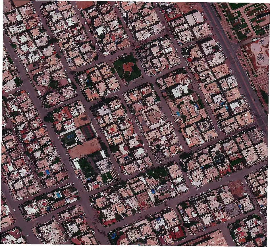
Search a free satellite view of your house below, buy high-resolution imagery down to 25cm, or task a brand-new capture if your address isn't covered yet. Track exactly when a satellite is passing overhead your home and get a free pass notification the moment one is in range.
Quick Answer
Yes, you can see a satellite view of your house right now, for free, using the map below, no signup required. If a recent high-resolution image of your address already exists, buy and download it in minutes. If it doesn't, task a brand-new satellite capture instead. 25-30cm resolution imagery is sharp enough to show your roofline, driveway, and yard; free public satellite imagery only shows your neighborhood at about 10 meters per pixel. Whether you search for a satellite view of my house or a satellite view of my home, it's the same search below.
Search
Draw your address on the map, or type it in, and see available imagery and instant pricing before you order anything.
An aerial view of your house from a satellite looks like a straight-down photograph of your roof, driveway, and yard, not a side-on photo the way a drone or Street View shows it. How much detail you actually see depends entirely on resolution.
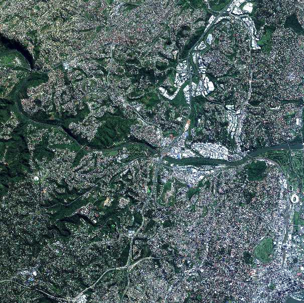
You don't have to buy anything to look. The search tool above shows a free quick-look preview of every matching scene before you pay, and free public satellite data (such as Sentinel-2) covers almost anywhere on Earth at around 10 meters per pixel.
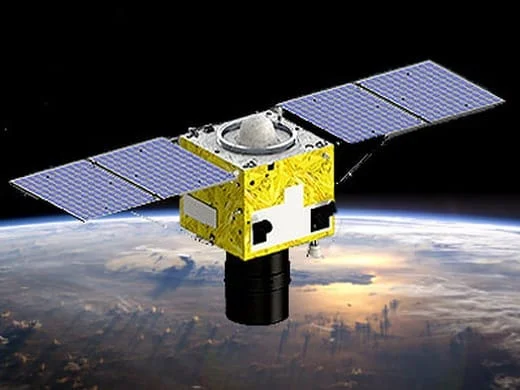
If no recent image of your address exists, order new tasking instead of waiting on the archive. It's an on-demand satellite view of your house, a fresh capture scheduled against a real upcoming orbit pass over your exact location, not a resold or recycled image.
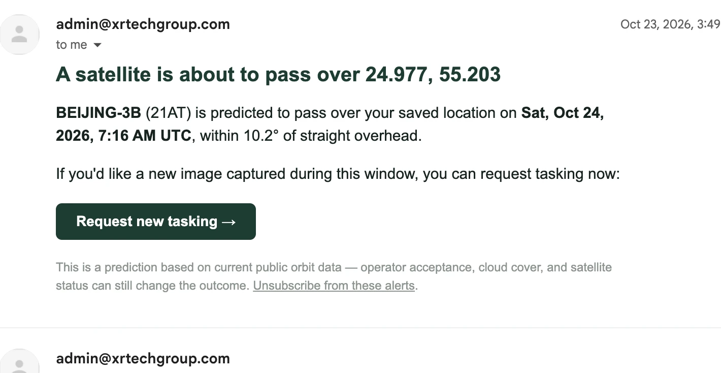
There's no live video of your house from space, and no provider offers one, satellites capture a single frame at a specific pass time, not a live stream. What you can track in real time is the satellite itself: live satellite tracking tells you the exact moment one is passing overhead and could capture your address.
Examples
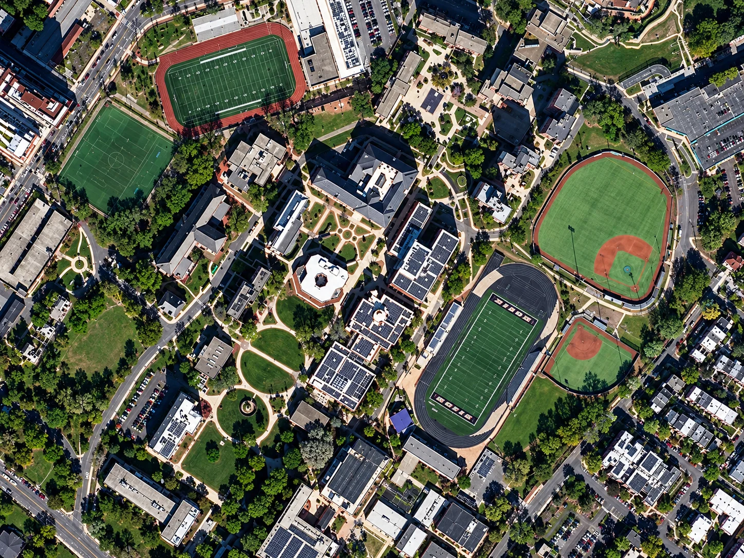
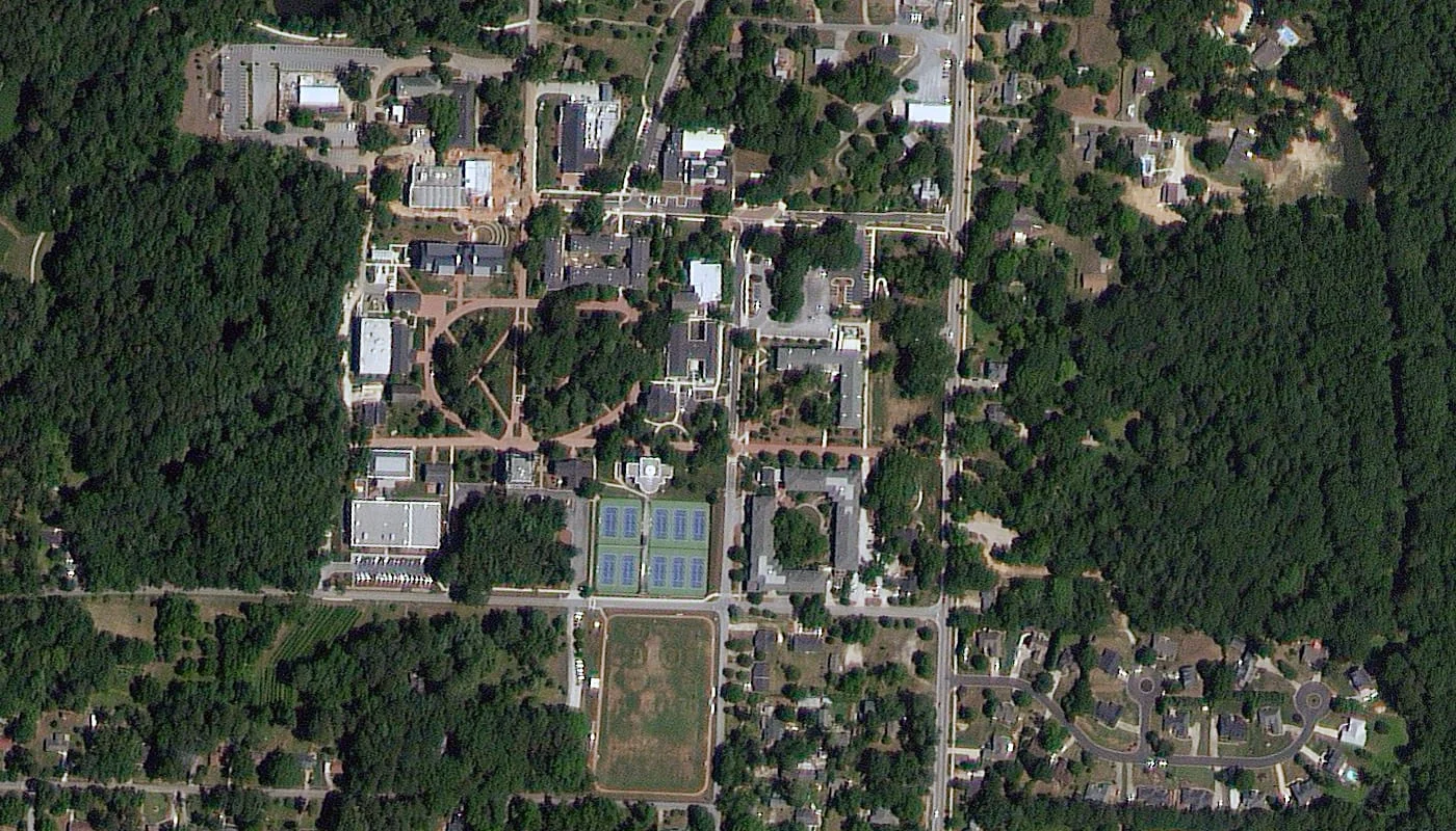
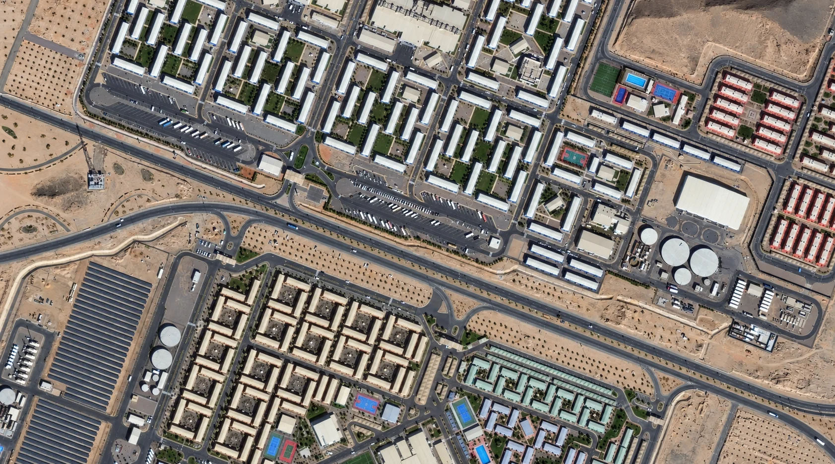
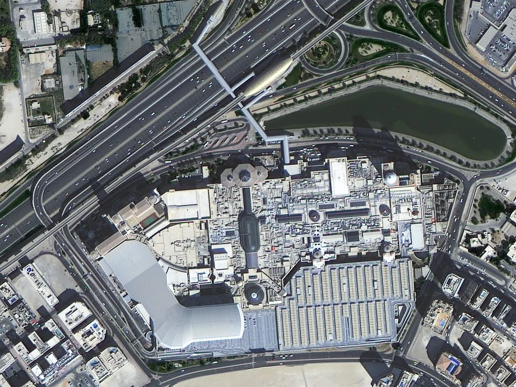
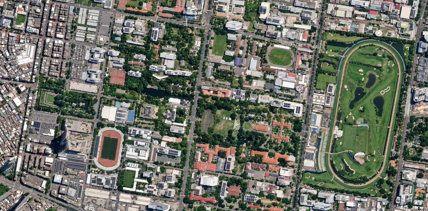
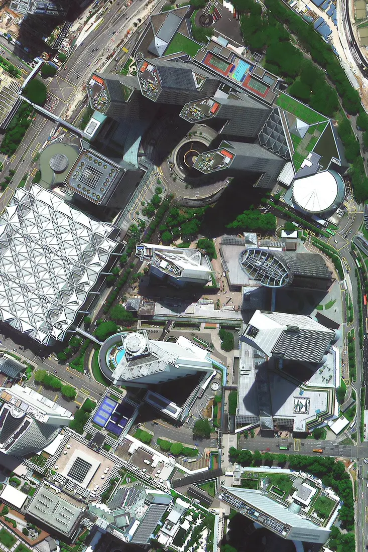
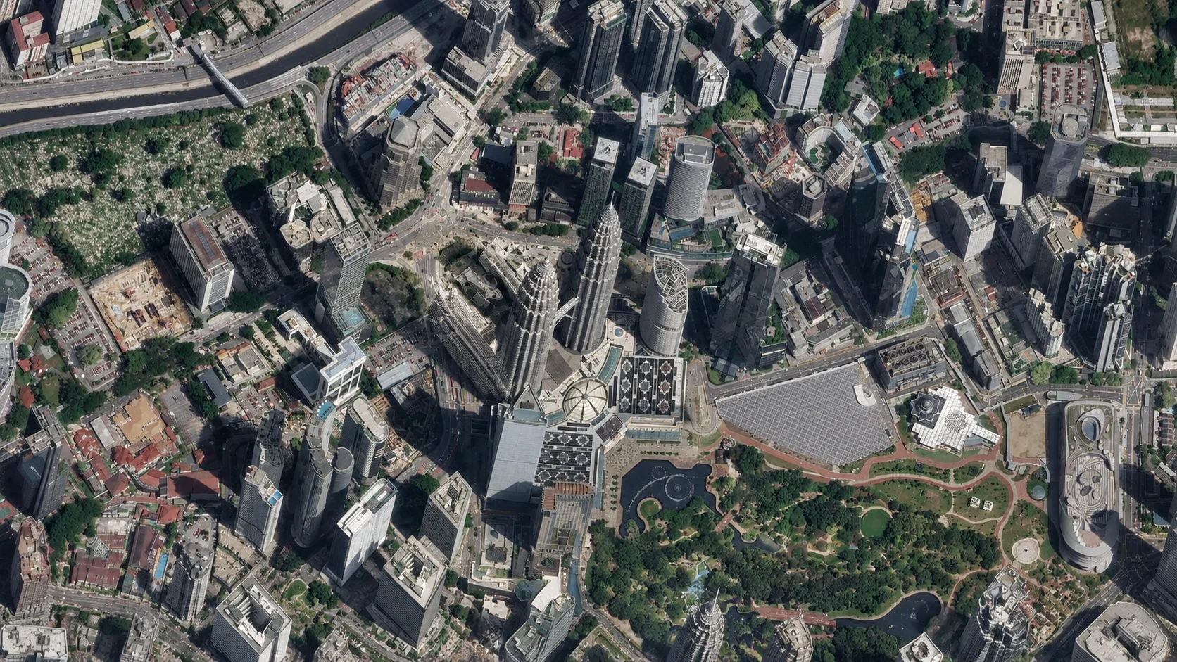
Eight real high-resolution captures from different cities, so you can see exactly how much detail each resolution tier resolves, not a single cherry-picked example.
Pricing
Transparent per-km² pricing, shown on screen before you order, no quote needed. Not sure which tier you need? Ask our team.
An image of your address already exists — ready to download in minutes
Minimum order area 15-25km² per scene, so your order covers a full scene around your address.
No recent image of your address yet — a satellite is scheduled fresh for you
Minimum order area 50-100km² per scene. Priority and emergency tasking available for a faster turnaround.
Want the full live 3D satellite tracker and overhead pass alerts? Visit the new satellite tasking platform. Browse coverage by country and city on satellite imagery by location, or see every tier on the pricing page.
Ready to See Your House From Orbit?
Search your address, buy archive imagery, or task a brand-new satellite capture, all with instant pricing.