
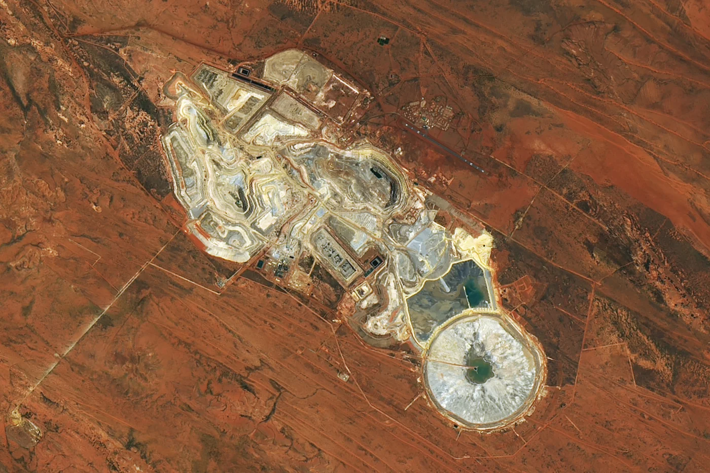
How Satellite Imagery Prevents Lethal Mining Accidents
On this page
- Why This Matters Now
- 1: Millimeter-Level Deformation Monitoring Catches Movement Before a Wall Fails
- 2: All-Weather Radar Keeps Watching When Optical Cameras Cannot
- 3: Hyperspectral Sensors Catch a Toxic Leak Before a Water Sample Would
- 4: 3D Terrain Models Catch a Bad Pit Design Before Anyone Works It
- 5: AI-Driven Response Platforms Cut the Time Between an Incident and a Decision
- 6: Contactless Inspection Keeps People Out of the Terrain That Kills Them
- Frequently asked questions
- Sources and further reading
Mining fatalities are not trending in the right direction. Across the International Council on Mining and Metals' 26 member companies, 39 workers died on the job in 2025, and fatalities across the industry have been climbing since 2021 after a decade of steady decline. The mechanisms behind the worst incidents repeat, a slope or dam wall moves for days or weeks before it fails, a waste pile leaches acid or heavy metals into water long before anyone samples it, or a crew is sent into terrain that is already unstable. Every one of those failure modes leaves a measurable trace from orbit before it becomes a fatality report. This article covers six concrete ways satellite imagery catches that trace early enough to matter.
Quick answer
Satellite imagery prevents lethal mining accidents by measuring the warning signs that precede them. InSAR radar detects ground deformation on tailings dams and pit slopes down to 1 to 2 millimeters, weeks before a visible failure. All-weather SAR keeps that monitoring running through storms, smoke, and darkness. Hyperspectral sensors catch toxic acid drainage and chemical leaks from their spectral signature before a water sample would. Stereo 3D terrain models let engineers test a pit design for instability before machinery or people enter it. And because all of this happens remotely, it cuts the number of times a person has to walk into hazardous terrain just to check on it.
Why This Matters Now
Tailings dam failures alone occur at an average rate of roughly 4.4 per year worldwide, and the pattern behind them is consistent, heavy rainfall or seismic activity triggers a structure that was already showing signs of distress. The 2019 Brumadinho collapse in Brazil, which killed more than 250 people, is the disaster most of the industry now points to, and we cover that case and the regulatory standard it produced in our guide to how satellites monitor mining across the full project lifecycle. This article stays narrower, on the specific mechanisms that turn satellite data into an early warning rather than a post-incident record.
1: Millimeter-Level Deformation Monitoring Catches Movement Before a Wall Fails
Interferometric Synthetic Aperture Radar, InSAR, compares the phase of a radar signal reflected off the same ground point on repeated satellite passes. L-band satellites such as LT-1 and C-band satellites such as GF-3 turn that phase difference into a deformation map accurate to roughly 1 to 2 millimeters, fine enough to separate ordinary settlement from the accelerating creep that precedes a slope or dam failure. Applied continuously to tailings dams, open-pit slopes, waste rock dumps, and processing plants, it gives a site an early warning window measured in days or weeks rather than a discovery after the fact.
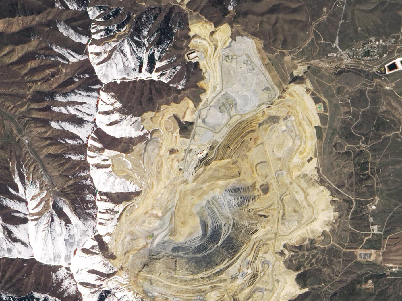
Bingham Canyon proved the concept with ground-based slope radar rather than a satellite, but it is the clearest demonstration in the industry's history that a deformation trend, tracked continuously and acted on, turns a catastrophic 65-million-cubic-meter failure into an evacuation with zero casualties. Satellite InSAR extends that same phase-comparison principle to every slope and dam that could never justify a permanent ground radar installation. A peer-reviewed 2019 study in Scientific Reports found satellite InSAR had recorded accelerating precursory deformation ahead of three separate failures of very different structures, including the March 2018 partial collapse of a tailings dam wall at the Cadia gold mine in Australia, days to weeks before each one happened.
2: All-Weather Radar Keeps Watching When Optical Cameras Cannot
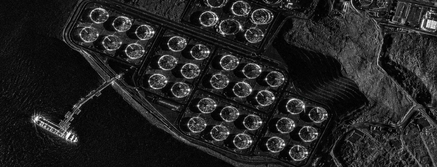
Deformation does not pause for cloud cover, and neither do landslides, floods, or storms, which is exactly when ground crews are least able to reach a site safely. Synthetic Aperture Radar is an active sensor, it transmits its own microwave pulse and reads the reflection, so it produces a usable image through heavy cloud, tropical fog, dust, smoke, and total darkness, conditions that leave optical and hyperspectral satellites blind.
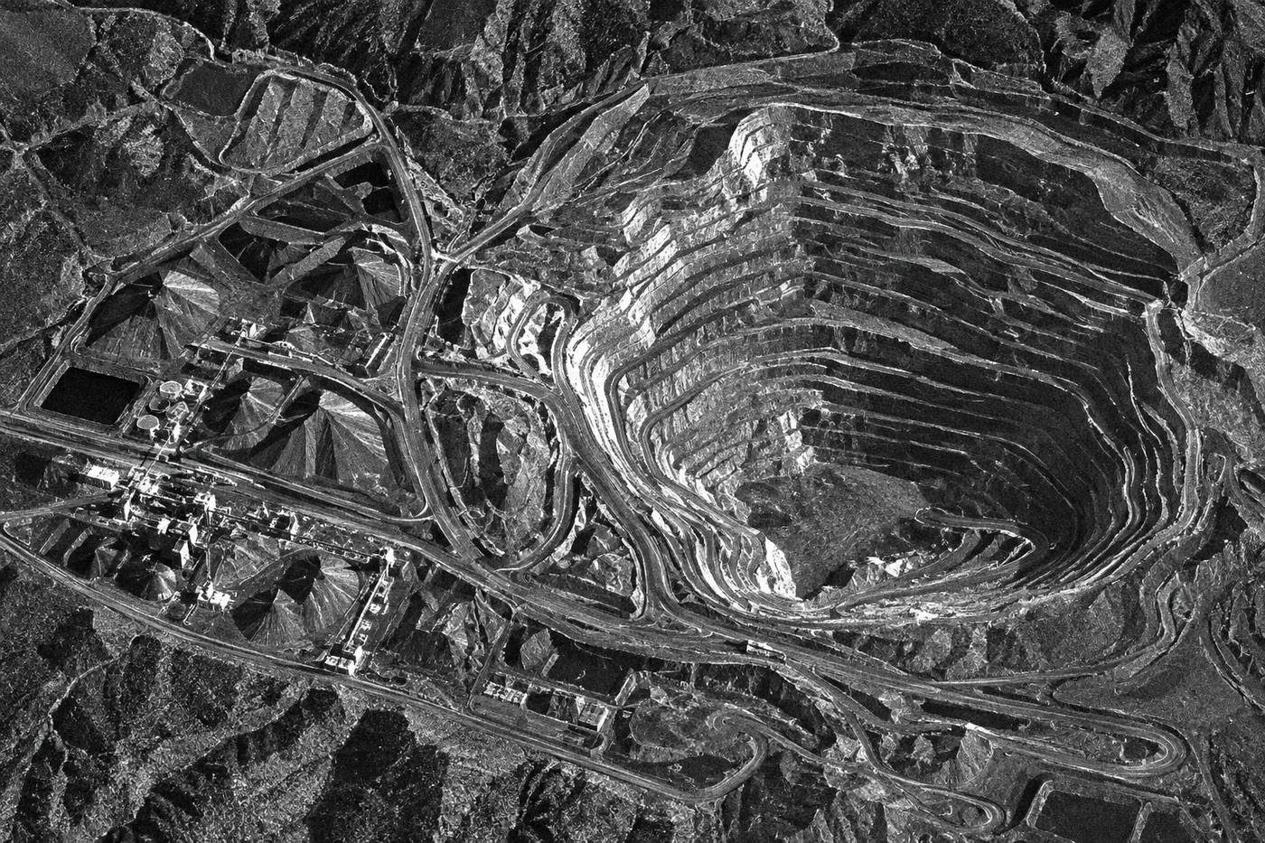
That property matters most during the exact events that cause casualties, an active landslide, a dam breach, or a storm-triggered slope failure typically comes with the kind of low visibility that grounds a helicopter and blinds an optical satellite. A radar pass over the same coordinates keeps working, which is what lets a mine's safety team see the extent of a developing hazard instead of waiting for the weather to clear.
3: Hyperspectral Sensors Catch a Toxic Leak Before a Water Sample Would
Acid mine drainage and heavy-metal contamination have a chemical signature before they have a visible one. Hyperspectral platforms such as GF-5B, ZY-1 02D, and Wyvern read reflected light across hundreds of narrow bands between 400 and 2500 nanometers, fine enough to separate jarosite, goethite, and hematite, the iron minerals that specifically mark acidic drainage, from ordinary surface rock. The U.S. Geological Survey used exactly this method with AVIRIS hyperspectral data over the Summitville mine site in Colorado, mapping the relative concentration of these minerals to locate the actual point sources of acid drainage and direct remediation crews to them, rather than searching a watershed on foot.
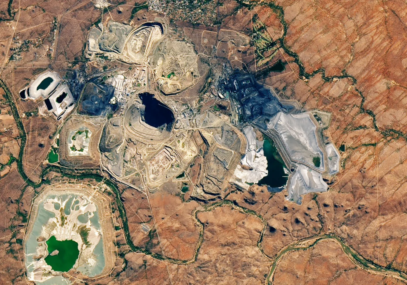
The cost of missing that signal is not hypothetical. In February 2025, a tailings dam failure at a Zambian copper operation released roughly 50 million liters of acidic waste into the Kafue River, a river tens of millions of people rely on downstream. Continuous spectral monitoring of tailings ponds and waste piles is what turns a slow contamination trend into an alert an operator can act on before it reaches a river, rather than a disaster investigators piece together afterward.
4: 3D Terrain Models Catch a Bad Pit Design Before Anyone Works It
A pit wall or waste dump fails, in large part, because of the slope angle and material it was built with, decisions made at the design stage. High-resolution stereo satellites such as GF-7, imaging the same ground from two orbital positions, generate Digital Elevation Models and Digital Surface Models with a vertical accuracy around 3 meters RMSE without ground control points, improving toward a meter or better with ground reference points or onboard laser altimetry. That is precise enough for engineers to model slope stability, drainage, and overburden load across a proposed pit before a single bench is cut.
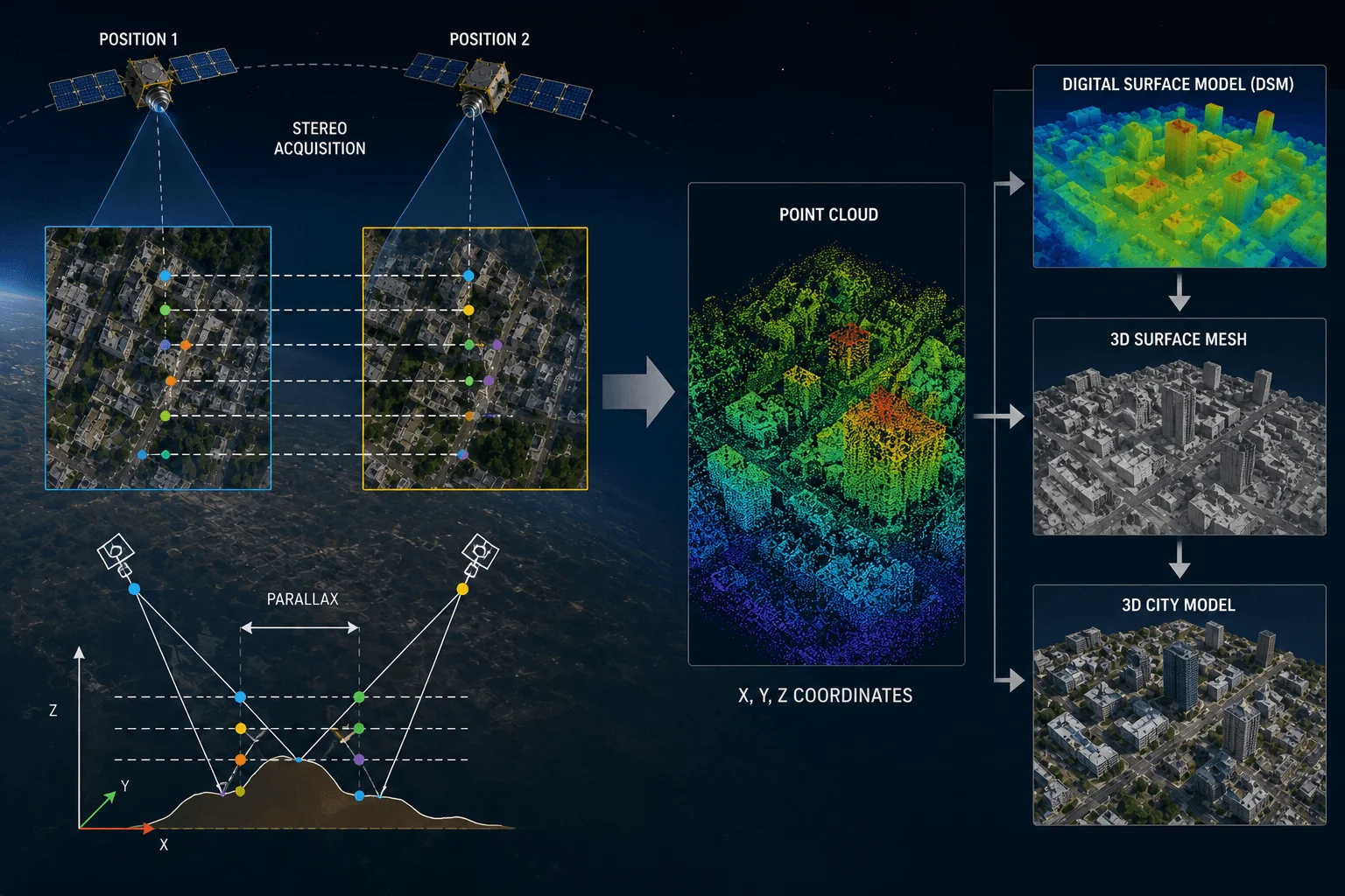
This is a design-stage safety check, not a monitoring one, and that distinction matters. A pit geometry that is unstable on paper stays unstable no matter how good the deformation monitoring covering it later is. Catching it in the terrain model is what keeps a crew from ever working underneath a wall that should not have been cut that steep in the first place.
Get continuous deformation and hyperspectral coverage over your site
Search our InSAR, hyperspectral, and stereo archive by coordinates, or request new tasking over a tailings facility, slope, or proposed pit and get results back in days.
5: AI-Driven Response Platforms Cut the Time Between an Incident and a Decision
Once a landslide, pit wall collapse, or gas release actually happens, the deciding factor in casualties is how fast responders know where to go and how bad it is. AI-driven emergency response platforms fuse satellite radar with aerial drone footage and ground IoT sensor readings, running automated change detection against the last known-good imagery to map the extent of a collapse or spill in minutes rather than the hours a manual damage assessment would take.
That speed is what separates a directed evacuation and rescue effort from one guessing at where the danger actually spread. It does not prevent the initial event, but it materially changes how many people are still in harm's way by the time responders arrive.
6: Contactless Inspection Keeps People Out of the Terrain That Kills Them
A meaningful share of mining deaths happen not during routine production but during the inspection itself, a geologist checking a gossan outcrop on an unstable slope, a technician accessing a compromised structure to read a gauge. Satellite surveillance replaces a large share of that physical exposure. Site conditions, structural integrity, and environmental compliance can all be assessed from a desk, reserving an actual site visit for the specific zones imagery has already flagged as worth the risk.
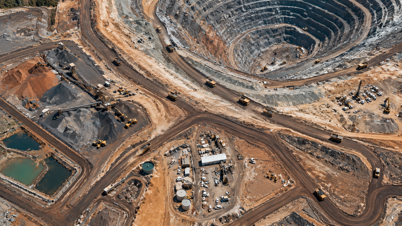
This does not replace inspection, it prioritizes it. A crew still has to physically confirm a flagged anomaly, but they go in knowing what they are walking into and why, instead of walking an entire concession blind on a fixed schedule.
Numbers that matter
The case for satellite-based safety monitoring rests on figures like these.
Ground deformation precision from InSAR radar, fine enough to separate normal settlement from a developing failure.
Fatalities across ICMM's 26 member companies in 2025, part of a rising trend since 2021 after a decade of decline.
Warning time between the evacuation call and the wall failure at Bingham Canyon's 2013 landslide. No one was injured.
Average global rate of tailings dam failures, most triggered by rainfall or seismic activity acting on a structure already under stress.
Key takeaways
- Nearly every major mining disaster shows a measurable warning sign in the record beforehand, deformation, a spectral chemical signature, or an unstable terrain model, days to weeks before the failure itself.
- InSAR radar resolves ground movement to 1 to 2 millimeters and, unlike optical or hyperspectral sensors, keeps working through cloud, smoke, and darkness.
- Hyperspectral sensors detect the mineral signature of acid drainage and heavy-metal contamination before it shows up in a scheduled water sample, a method the USGS proved at Summitville, Colorado.
- 3D terrain models catch an unstable pit or waste-dump design at the planning stage, before it is ever excavated, which no amount of later deformation monitoring can fix on its own.
- The industry's clearest proof of concept, Bingham Canyon's 2013 landslide, ended in zero injuries because a radar-detected deformation trend triggered evacuation seven hours before the largest non-volcanic landslide in North American history.
Frequently asked questions
How does satellite imagery prevent mining accidents?
Satellite imagery prevents mining accidents by detecting the warning signs that precede them, using InSAR radar to catch millimeter-level ground deformation on tailings dams and slopes, hyperspectral sensors to catch toxic chemical leaks by their spectral signature, and stereo terrain models to catch an unstable pit design before excavation begins. It also reduces the number of times workers must physically enter hazardous terrain for routine inspection.
Can satellites really predict a tailings dam failure?
Satellite InSAR cannot predict the exact moment of failure, but it reliably detects accelerating ground deformation in the days to weeks beforehand. A 2019 peer-reviewed study in Scientific Reports documented satellite InSAR recording precursory deformation ahead of three separate slope and dam failures, including the 2018 Cadia gold mine tailings dam collapse in Australia.
What happened at Bingham Canyon Mine in 2013?
On April 10, 2013, the northeastern wall of Bingham Canyon copper mine in Utah failed in two episodes, depositing roughly 65 to 70 million cubic meters of material in what is considered the largest non-volcanic landslide in modern North American history. Ground-based slope radar had tracked accelerating movement for months, reaching 2 inches per day just before failure, prompting a full evacuation seven hours in advance. No one was injured.
How accurate is InSAR for detecting mine slope movement?
Interferometric Synthetic Aperture Radar (InSAR) can resolve ground deformation to roughly 1 to 2 millimeters by comparing the phase of radar signals reflected off the same ground point on repeated satellite passes, precise enough to distinguish routine settlement from the accelerating movement that precedes a failure.
Can satellites detect toxic leaks or acid mine drainage?
Yes. Hyperspectral sensors identify the specific iron mineral signatures, such as jarosite, goethite, and hematite, that mark acid mine drainage, by reading reflected light across hundreds of narrow spectral bands. The USGS used this method with airborne hyperspectral data at the Summitville, Colorado mine site to locate acid drainage point sources for remediation.
Does satellite monitoring work during storms or at night?
Synthetic Aperture Radar (SAR) does, because it is an active sensor that transmits its own signal rather than relying on reflected sunlight. It produces usable imagery through heavy cloud cover, fog, dust, smoke, and total darkness, which is exactly when optical and hyperspectral satellites cannot see and when many mining emergencies actually occur.
How many people die in mining accidents each year?
Across the International Council on Mining and Metals' 26 member companies, which represent roughly a third of the global mining and metals industry, 39 workers died on the job in 2025, down slightly from 43 in 2024 but part of a rising trend since 2021 that reversed a prior decade of decline.
Can satellite monitoring replace physical mine safety inspections?
No. Satellite monitoring narrows down where a physical inspection actually needs to happen and provides continuous coverage between site visits, but it does not replace hands-on structural inspection, geotechnical instrumentation, or emergency response on the ground. Its value is in reducing how often, and how blindly, workers are sent into potentially hazardous terrain.
Sources and further reading
- International Council on Mining and Metals (ICMM), 2025 safety performance report of member companies
- NASA Earth Observatory, "Sizing up the Landslide at Bingham Canyon Mine," image by Jesse Allen and Robert Simmon using EO-1 ALI data
- Carlà, T. et al., "Perspectives on the prediction of catastrophic slope failures from satellite InSAR," Scientific Reports, 2019
- U.S. Geological Survey, AVIRIS hyperspectral mapping of acid mine drainage at Summitville, Colorado
- China Siwei and CNSA, LT-1, GF-3, GF-5B, GF-7, and ZY-1 02D satellite mission specifications
Put continuous safety monitoring over your site before the next incident
Search our archive for InSAR, hyperspectral, and high-resolution optical coverage, or request tasking over a specific dam, slope, or pit and get results back in days.


