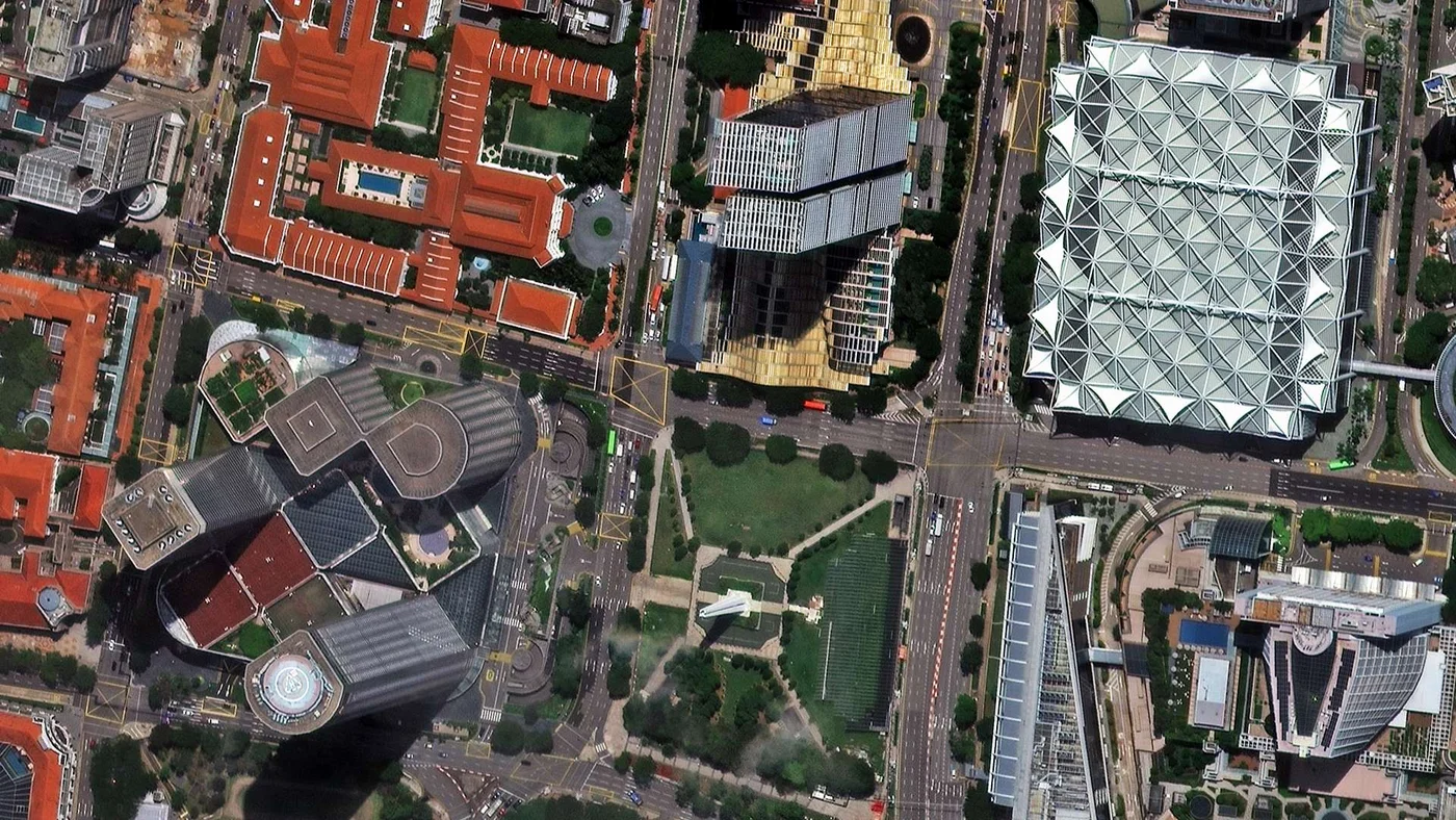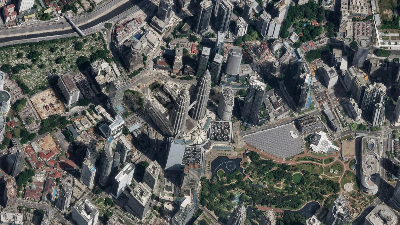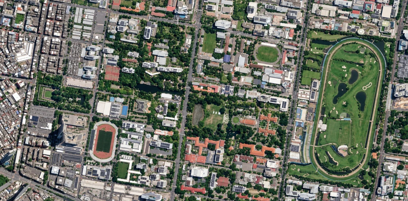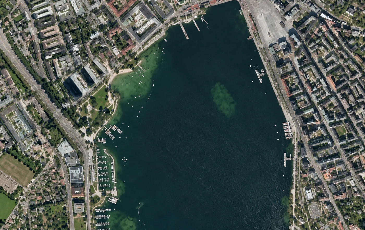
Coordinates: 46.8182°N, 8.2275°E
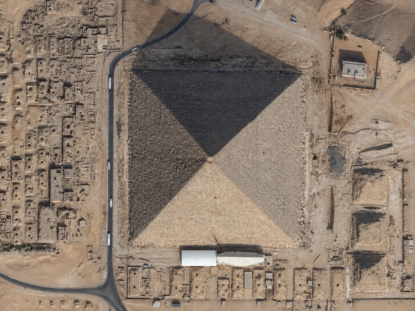
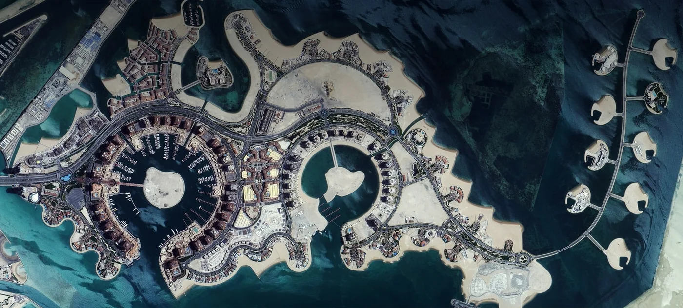
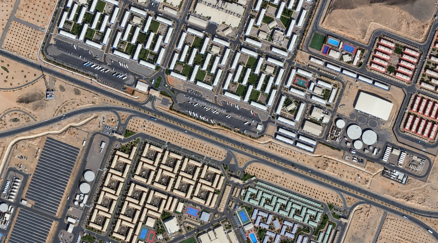
Get a satellite view of Switzerland from 25cm resolution, ready to search below, sharp enough to resolve individual buildings, boats, and vehicles anywhere in the country. Commercial archive and new-tasking imagery from providers like SuperView Neo and 21AT covers the whole country, from Zurich, Geneva, and Bern to Ticino and the Alps; availability and acquisition dates depend on the satellite, the location, and cloud or snow cover.
Yes. A satellite view of Switzerland, including Zurich, Geneva, Bern, Ticino, and the Alps, is searchable on this page. Commercial satellites resolve the country down to 25cm, sharp enough to identify individual buildings, boats, and vehicles, with a fresh capture available within days through new tasking.
The map below is a working satellite view of Switzerland, not a static picture, covering Zurich, Geneva, Bern, Basel, and Lausanne, the Swiss Plateau's cities and farmland between them, and the Alps running along the country's southern and eastern border. It is the same overhead view most people mean by a satellite photo of Switzerland or an aerial view of Switzerland, captured from orbit rather than from an aircraft. Pan to an area, then check what archive and new-tasking imagery exists for it, with an instant price estimate before you commit to anything. Satellite imagery is not a live video feed: each scene is a record of one specific pass, so the dates available for your area are what the portal shows.
The map above is a working satellite tool for Switzerland, not just a viewer: search any location, check available imagery dates, and request archive or newly tasked imagery for it, all in the same workspace. Use it in a few steps:
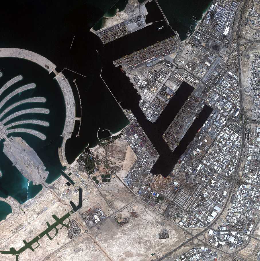
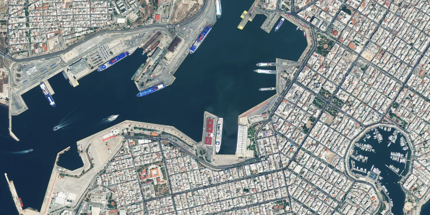
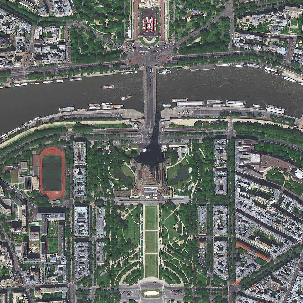
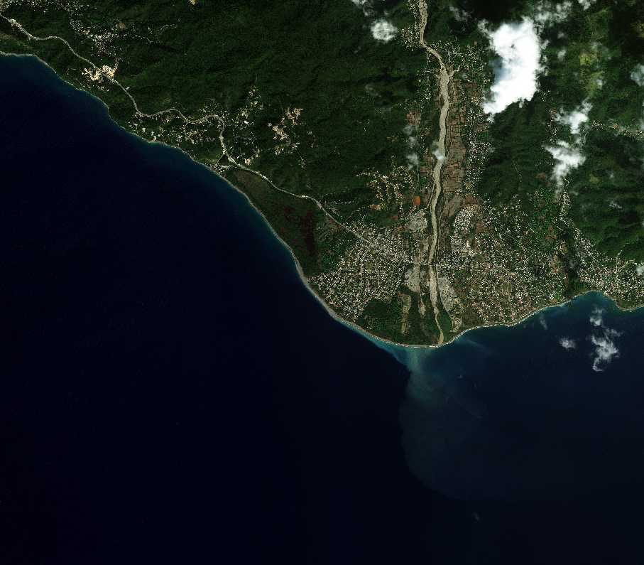
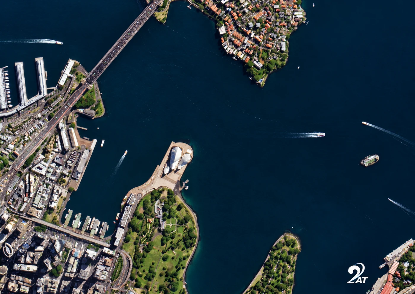
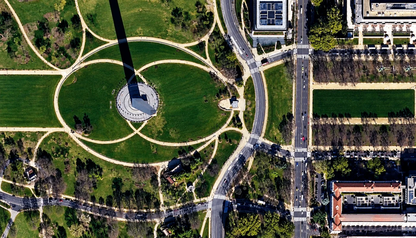
The image below is a real paid-tier sample, not free public data, showing building- and boat-scale detail over a Swiss lakefront district. Imagery like this is searchable and orderable through the portal above for your own area of interest anywhere in Switzerland.
Want this detail for your Switzerland site? Search satellite imagery Switzerland on the map above →
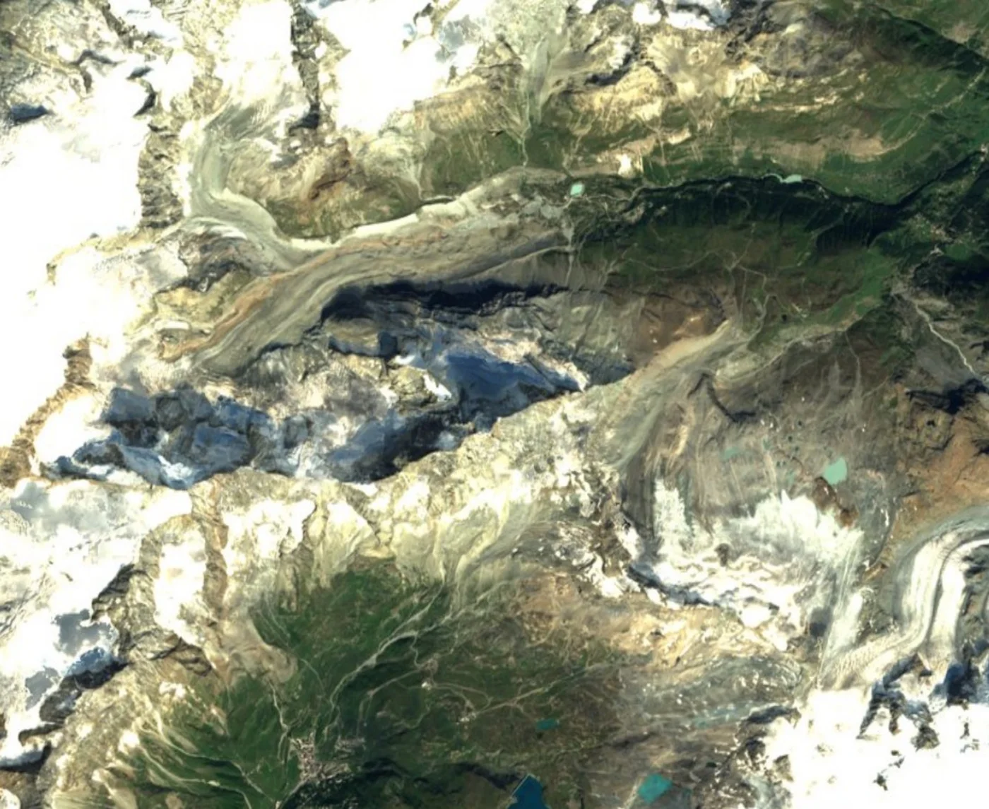
This Sentinel-2 crop shows the glaciated high-Alpine terrain of the Pennine Alps above Zermatt, close to the Matterhorn, a useful contrast to the building-scale detail of a commercial order above: this regional view shows ridgelines, icefall, and glacier flow lines rather than individual structures. An overhead view like this doesn't show a single peak's silhouette the way a ground-level photo does, which is part of why this terrain is easier to recognize from the valley than from directly above.
Archive imagery is fast and cheap. New tasking gets you a fresh capture of your exact site.
Satellite imagery of Switzerland is priced per square kilometre by resolution and capture mode. Archive scenes already exist and are the cheapest, fastest option. New tasking books a satellite to fly your area and costs more. Every search on this page returns an instant estimate before you order.
| Resolution Tier | Revisit | Archive Price | New Tasking Price | Priority | Emergency | Stereo | Tri-Stereo |
|---|---|---|---|---|---|---|---|
| 25-30cm — Super High Resolution | Daily | $19/km² (min. 15-25km²) | $25/km² (min. 50-100km²) | $40/km² | $70/km² | $50/km² | $75/km² |
| 31-50cm — Very High Resolution | 1-3 days | $13/km² | $19/km² | $32/km² | $51/km² | $40/km² | $60/km² |
| 51-80cm — High Resolution | 3-5 days | $6/km² | $10/km² | $15/km² | $25/km² | Not available | Not available |
| 81cm-1m — Standard Resolution | 4-5 days | $4/km² | $8/km² | $13/km² | $20/km² | Not available | Not available |
| 2m and Specialized Data (SAR, Hyperspectral, Multispectral) | Varies | Custom pricing | Custom pricing | Custom pricing | Custom pricing | Not available | Not available |
Delivery formats are GeoTIFF, SHP, DWG, or UTM. Upload your own area of interest as KML, KMZ, or zipped Shapefile. Archive imagery is typically ready in minutes to 48 hours; new tasking typically delivers within 7 days, weather permitting, with priority and emergency slots faster. Imagery is licensed, not sold, for your internal business, analysis, and reporting use; resale or redistribution needs written consent.
Prices are shown in US dollars. Swiss customers are invoiced in USD unless another currency is agreed when the order is confirmed.
Both are used across Switzerland, but a satellite doesn't need flight clearance over restricted airspace near airports, military areas, or border zones, and mountain terrain that grounds a survey aircraft on a cloudy or high-wind day doesn't stop a satellite pass on a clear one.
| Satellite Imagery | Aerial Photography | |
|---|---|---|
| Coverage | Anywhere in Switzerland, including high-Alpine and cross-border terrain, with no flight clearance needed | Flown per project, constrained by mountain terrain, airspace restrictions, and weather windows |
| Revisit speed | Archive available instantly; new tasking typically within 7 days | Scheduled per survey, dependent on aircraft, crew, and mountain weather |
| Cost | Priced per km², scaling well across large alpine sites, nationwide portfolios, or repeat monitoring | Mobilisation cost per sortie, often higher over remote or high-altitude terrain |
| Best use | Large or remote sites, nationwide monitoring, and repeat change or glacier tracking | Maximum detail on a single, accessible low-altitude site |
Search any Swiss site on the map above for an instant archive price, or send us the area and we will come back with confirmed coverage and pricing, usually within one business day.
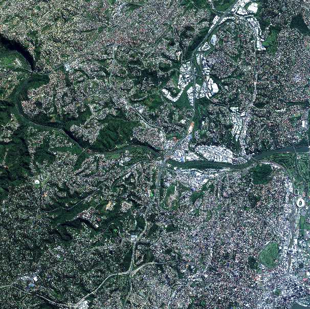
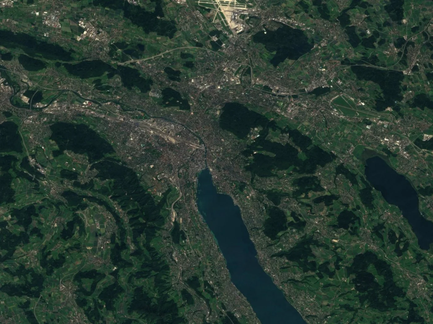
Zurich, Switzerland's largest city and financial center, sits at the northern tip of Lake Zurich, with the Limmat river running out through its old town. It anchors German-speaking Switzerland, the country's largest linguistic region by population, which also includes Basel, Lucerne, and the Swiss Plateau's cities and farmland. The Sentinel-2 image below shows Zurich, the lake, and Zurich Airport (Kloten) to the north.
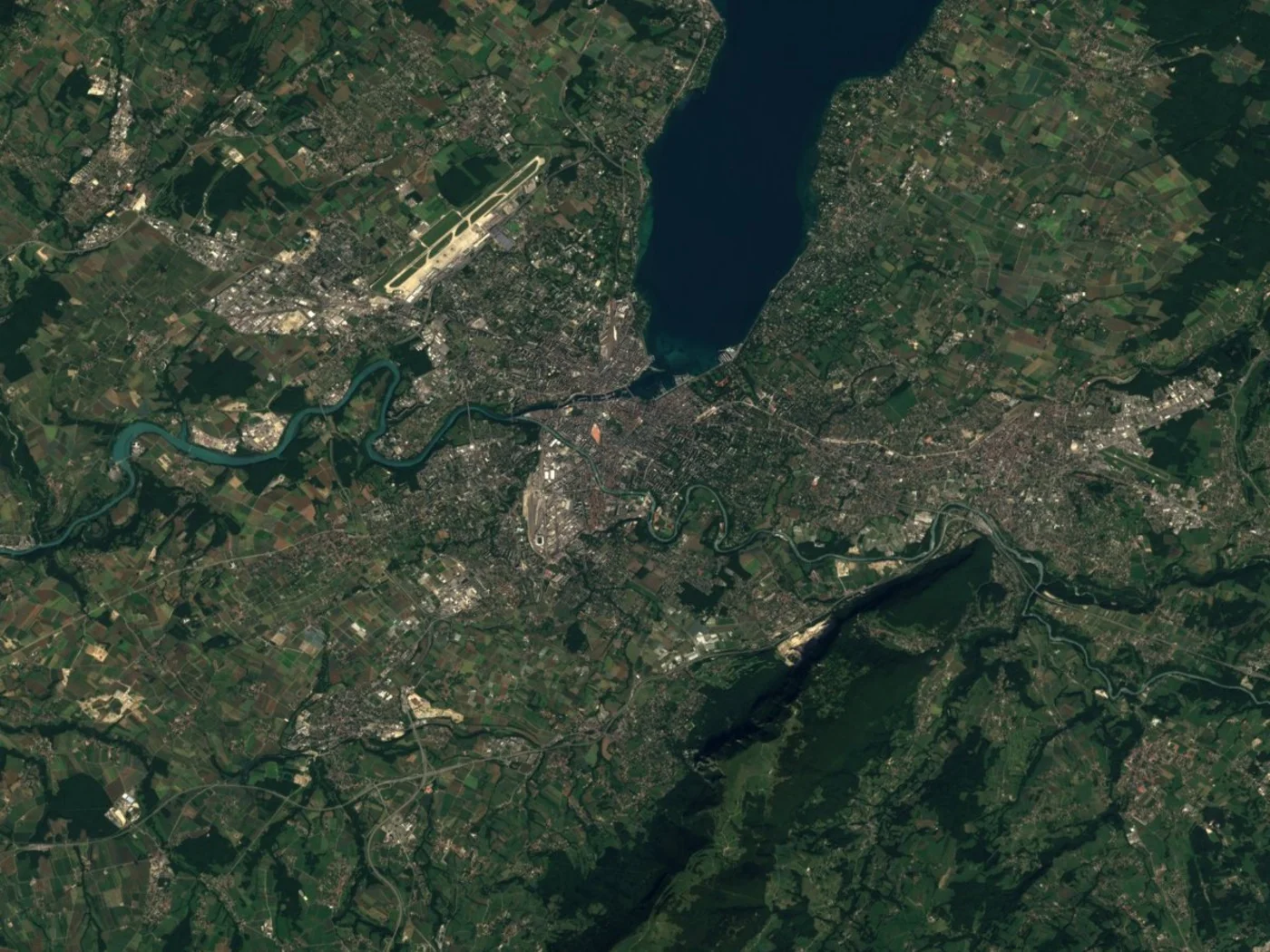
Geneva sits at the southwestern tip of Lake Geneva, where the Rhône flows out toward France, and is home to the United Nations' European headquarters and CERN, whose 27km Large Hadron Collider ring is faintly traceable in high-resolution imagery straddling the Swiss-French border near Meyrin. Geneva anchors Romandie, French-speaking Switzerland, which also includes Lausanne and the rest of the Lake Geneva shoreline. The Sentinel-2 image below shows Geneva, the lake, and Geneva Airport to the northwest.
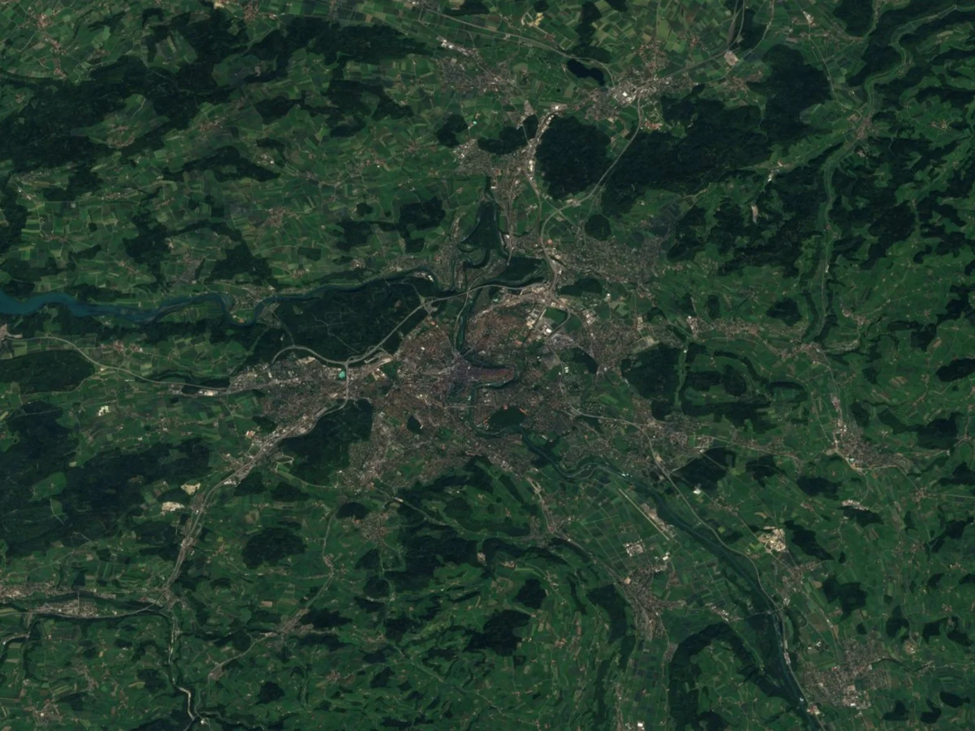
Bern, Switzerland's federal capital, sits inside a tight horseshoe bend of the Aare river, with its UNESCO World Heritage-listed medieval old town occupying the peninsula the river forms. The distinctive loop is one of the most recognizable shapes in any satellite image of a Swiss city. The Sentinel-2 image below shows Bern's old town and the surrounding districts within and beyond the river bend.
Ticino, south of the Alps and bordering Italy, is Switzerland's Italian-speaking canton, centered on Lugano and its lake. The branching shape of Lake Lugano, split between Swiss and Italian territory, and the dense development along its shores and valley floor are both clearly distinguishable from orbit. The Sentinel-2 image below shows Lugano, the lake, and Lugano Airport in the valley to its northwest.
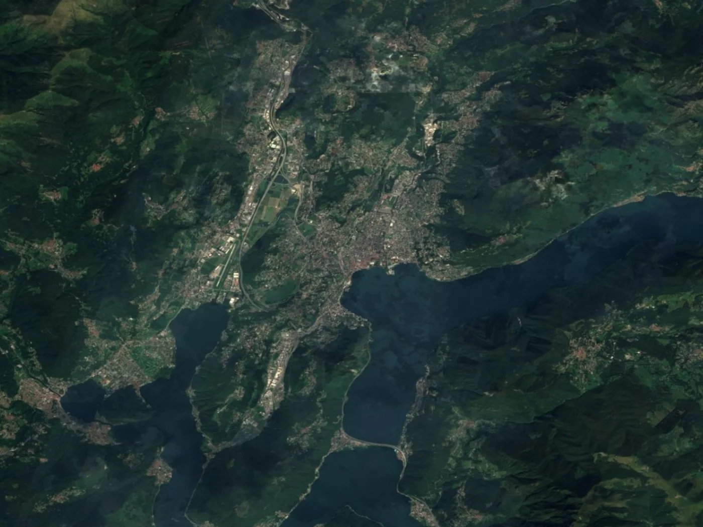
A satellite view of Switzerland moves from dense lakeside cities to open farmland and high-Alpine glaciers within a small country. These places are all distinguishable in high-resolution satellite images of Switzerland.
One of the most recognizable peaks in the Alps, near Zermatt on the Swiss-Italian border, surrounded by glaciers and icefields, shown in the space-image section above. An overhead satellite view resolves the surrounding ridgelines and glacier flow lines clearly, though a single peak's silhouette reads more distinctly from a ground-level photo than directly from orbit.
The largest glacier in the Alps and a UNESCO World Heritage Site, part of the Jungfrau-Aletsch region in the Bernese Alps, its long tongue of ice and medial moraine lines clearly resolved in high-resolution satellite imagery.
Lake Geneva's crescent shape separates Switzerland from France along its southern shore, and Geneva's famous fountain, the Jet d'Eau, is visible as a small bright plume on a capture with the right timing, shown near the Geneva image on this page.
The 27km underground ring of the Large Hadron Collider at CERN, straddling the Swiss-French border near Geneva, is faintly traceable in high-resolution commercial satellite imagery as a subtle circular surface marking, even though the collider itself sits underground.
A UNESCO World Heritage-listed medieval old town occupying a peninsula formed by a horseshoe bend in the Aare river, its tight loop one of the most recognizable shapes in any satellite image of a Swiss city, shown in the Bern image on this page.
The largest waterfall in Europe by water volume, near Schaffhausen in northern Switzerland, its wide curtain of white water and central rock outcrop clearly distinguishable against the surrounding Rhine.
A branching lake split between Swiss and Italian territory south of the Alps, with Lugano's dense lakeside development and valley floor clearly resolved, shown in the Ticino image on this page.
Switzerland's largest city sits at the northern tip of Lake Zurich, its old town, the Limmat river, and Zurich Airport (Kloten) all distinguishable at commercial resolution, shown in the Zurich image on this page.
Satellite imagery of Switzerland supports work across a small, mountainous country with major hydropower infrastructure, alpine tourism, and some of the most climate-sensitive glaciers in Europe:
One search on this page covers commercial constellations and free public archives together. Which one you want comes down to how much detail the job actually needs, and how much of Switzerland you need to cover.
These are the paid constellations you can search and task directly through the portal above, and the only ones that resolve individual buildings, boats, and vehicles.
Free sources cost nothing and cover the whole country, but none of them resolve a single building. They suit land-cover, glacier, and regional change work, including the Sentinel-2 samples shown throughout this page.
Swiss imagery is priced per square kilometre by the resolution and capture mode you pick, so the practical question is how much detail the decision actually needs.
Optical satellites need a clear sky, and Switzerland's mountain terrain generates its own localized cloud, which can sit over an alpine valley while the rest of the country is clear.
| Resolution | Source | Best For |
|---|---|---|
| 25cm-30cm panchromatic | 21AT / SuperView Neo (commercial) | Individual buildings, boats, and vehicles |
| 1.2m multispectral | 21AT BJ-3 constellation (commercial) | Detailed site analysis with color/spectral data |
| Sub-meter to multi-meter | Gaofen satellites (archive) | Regional and national-scale mapping across Switzerland |
| 10m optical / 5-20m radar | Sentinel-2 & Sentinel-1, Copernicus (free) | Regional monitoring and cloud-piercing alpine coverage, as shown throughout this page |
| 30m multispectral | Landsat (free) | Long-term glacier and land-cover change |
Free imagery shows the whole country. Commercial imagery shows single buildings.
| Free Public Imagery | Commercial Imagery | |
|---|---|---|
| Example | Sentinel-2, Landsat | SuperView Neo, 21AT |
| Resolution | 10m to 30m | 25cm to 1.2m |
| Cost | Free | Paid, priced by area and resolution |
| Best for | Regional and whole-country monitoring, glacier tracking | Site-level detail and mapping |
| Buildings | Not distinguishable at 10m or coarser | Clearly resolved |
| Boats and vehicles | Not distinguishable | Distinguishable at sub-meter resolution |
| New tasking | Not available | Available, new capture within days |
Quick Enquiry
Tell us your area and timeline and our team will reply with options and pricing — usually within one business day.
Thanks — we'll get back to you by email shortly.