Coordinates: 25.2744°S, 133.7751°E
Get a satellite view of Australia from 25cm resolution, ready to search below, sharp enough to resolve individual buildings, mine haul trucks, and vehicles anywhere on the continent. Commercial archive and new-tasking imagery from providers like SuperView Neo and Beijing-3 (21AT) covers every state and territory, from Sydney Harbour to the Pilbara and the Great Barrier Reef; availability and acquisition dates depend on the satellite, the location, and cloud cover.
Yes. A satellite view of Australia's full landmass, from Sydney Harbour to the red interior and the Great Barrier Reef, is searchable on this page. Commercial satellites resolve the continent down to 25cm, sharp enough to identify individual buildings, mine equipment, and vehicles anywhere in the country, with a fresh capture available within days through new tasking.
The map below is a working satellite view of Australia, not a static picture, covering all six states and two mainland territories, Sydney, Melbourne, Brisbane, Perth, Adelaide, Darwin, Hobart, and Canberra, plus the vast Outback interior and more than 34,000km of coastline. It is the same overhead view most people mean by an "aerial view of Australia," captured from orbit rather than from an aircraft. Pan to an area, then check what archive and new-tasking imagery exists for it, with an instant price estimate before you commit to anything. Satellite imagery is not a live video feed: each scene is a record of one specific pass, so the dates available for your area are what the portal shows.
The map above is a working satellite tool for Australia, not just a viewer: search any location, check available imagery dates, and request archive or newly tasked imagery for it, all in the same workspace. Use it in a few steps:
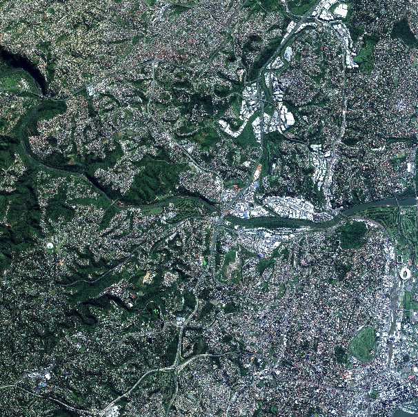
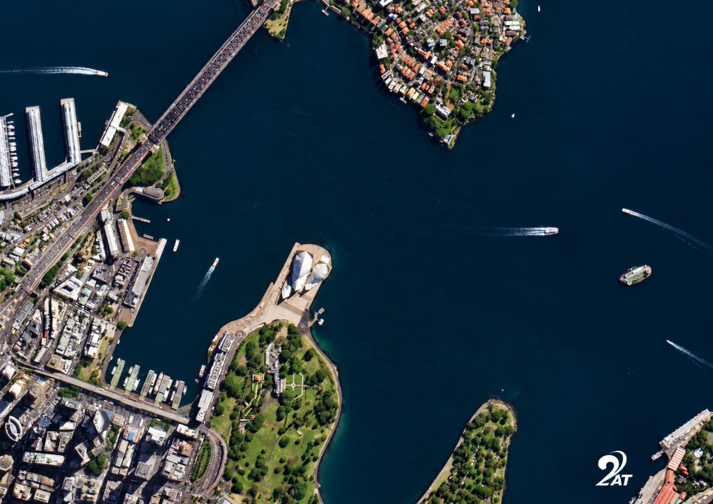
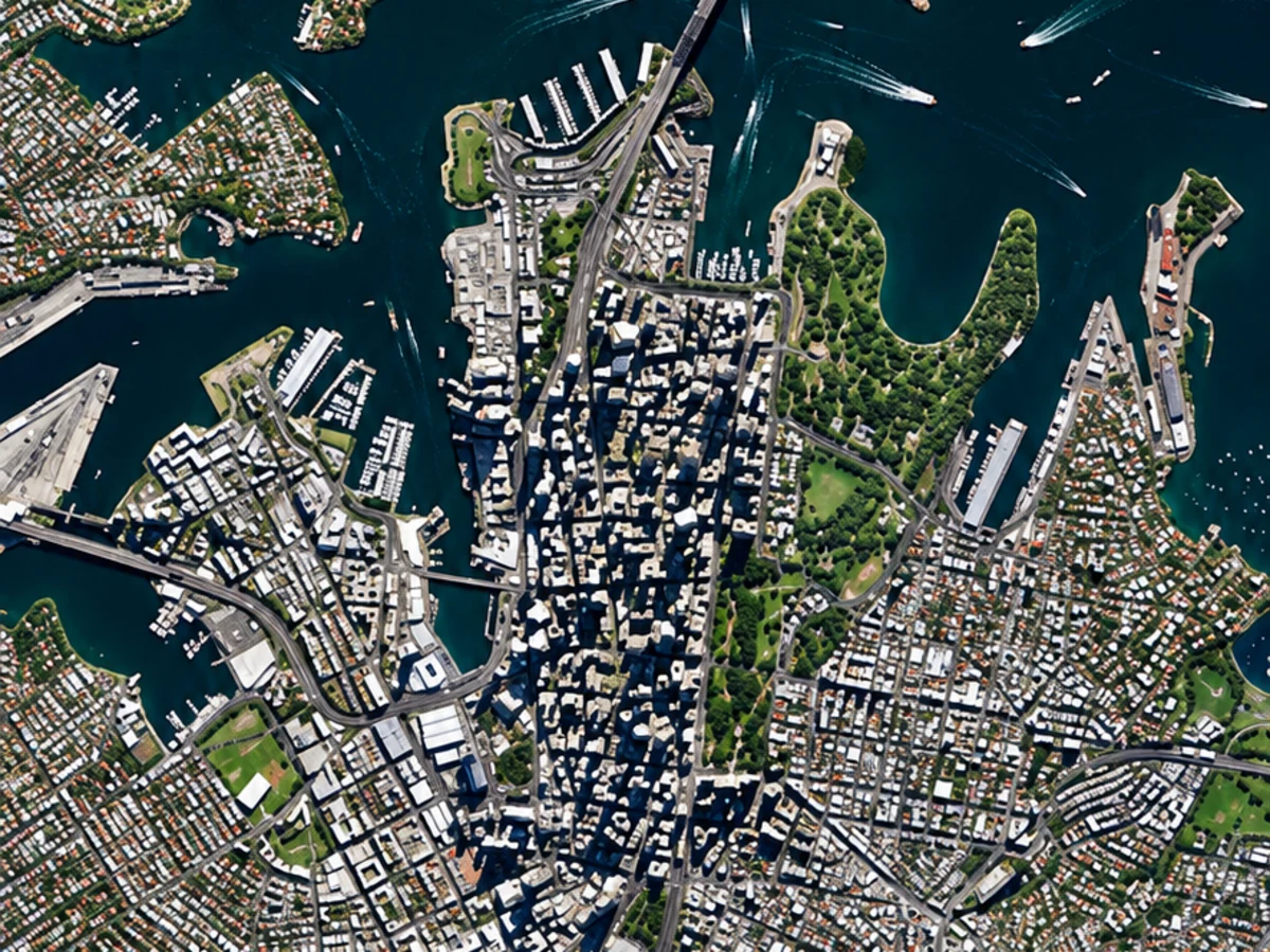
The two images below are real samples, not free public data: a high-resolution optical capture showing building- and vehicle-scale detail, and a nationwide hyperspectral mineral map, a different product built for mineral exploration rather than site inspection. Both are searchable and orderable through the portal above for your own area of interest.

Want this detail for your Australia site? Search satellite imagery Australia on the map above →
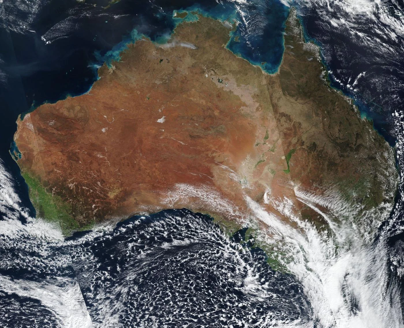
This is what Australia looks like from orbit on a mostly clear day, the red interior of the Outback, the green coastal fringe, and the turquoise edge of the Great Barrier Reef off the northeast coast, all in one unbroken view. It is a useful contrast to the sharp, single-site detail of a commercial order above: this whole-continent view shows regional patterns, not individual buildings.
Archive imagery is fast and cheap. New tasking gets you a fresh capture of your exact site.
Satellite imagery of Australia is priced per square kilometre by resolution and capture mode. Archive scenes already exist and are the cheapest, fastest option. New tasking books a satellite to fly your area and costs more. Every search on this page returns an instant estimate before you order.
| Resolution Tier | Revisit | Archive Price | New Tasking Price | Priority | Emergency | Stereo | Tri-Stereo |
|---|---|---|---|---|---|---|---|
| 25-30cm — Super High Resolution | Daily | $19/km² (min. 15-25km²) | $25/km² (min. 50-100km²) | $40/km² | $70/km² | $50/km² | $75/km² |
| 31-50cm — Very High Resolution | 1-3 days | $13/km² | $19/km² | $32/km² | $51/km² | $40/km² | $60/km² |
| 51-80cm — High Resolution | 3-5 days | $6/km² | $10/km² | $15/km² | $25/km² | Not available | Not available |
| 81cm-1m — Standard Resolution | 4-5 days | $4/km² | $8/km² | $13/km² | $20/km² | Not available | Not available |
| 2m and Specialized Data (SAR, Hyperspectral, Multispectral) | Varies | Custom pricing | Custom pricing | Custom pricing | Custom pricing | Not available | Not available |
Delivery formats are GeoTIFF, SHP, DWG, or UTM. Upload your own area of interest as KML, KMZ, or zipped Shapefile. Archive imagery is typically ready in minutes to 48 hours; new tasking typically delivers within 7 days, weather permitting, with priority and emergency slots faster. Imagery is licensed, not sold, for your internal business, analysis, and reporting use; resale or redistribution needs written consent.
Prices are shown in US dollars. Australian customers are invoiced in USD unless another currency is agreed when the order is confirmed.
Both are used across Australia, and the country's scale is exactly where the difference shows up most. A satellite does not care how remote a site is; an aircraft charter does.
| Satellite Imagery | Aerial Photography | |
|---|---|---|
| Coverage | Anywhere in Australia, including remote Outback and offshore sites, with no flight planning or charter needed | Flown per project, constrained by aircraft range, airstrip access, and remoteness |
| Revisit speed | Archive available instantly; new tasking typically within 7 days | Scheduled per survey, dependent on aircraft and crew availability |
| Cost | Priced per km², scaling well across large mine leases, farms, or nationwide portfolios | Mobilisation cost per sortie, often far higher for a remote or outback site |
| Best use | Large or remote sites, nationwide monitoring, and repeat change detection | Maximum detail on a single, accessible site reachable by air |
Search any Australian site on the map above for an instant archive price, or send us the area and we will come back with confirmed coverage and pricing, usually within one business day.
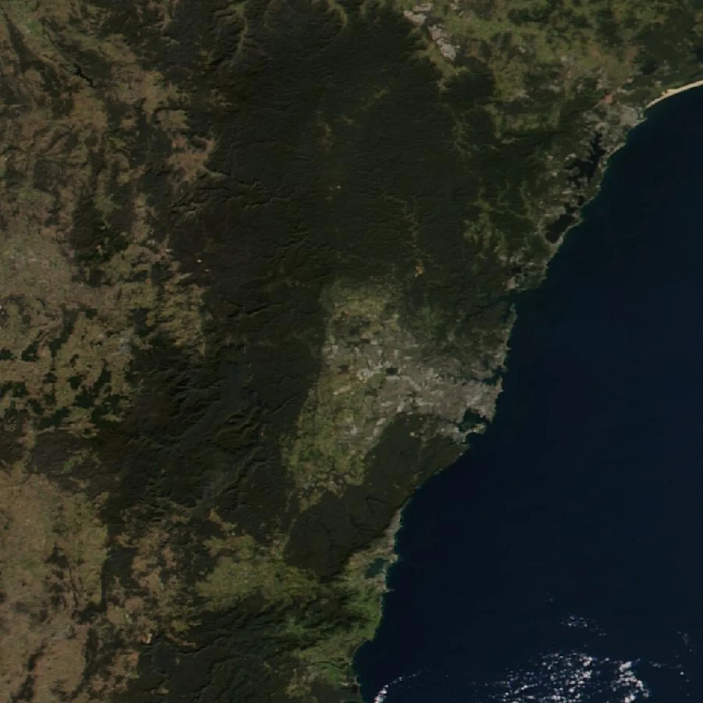
New South Wales runs from Sydney's harbour and metropolitan sprawl through the Blue Mountains and the Hunter Valley, out to the wheat and sheep country of the state's western plains. The commercial sample above shows the Sydney CBD at building-level detail; the regional view below shows Sydney and its surrounding coastline, national parks, and waterways at a wider scale. Commercial imagery resolves individual properties and infrastructure anywhere in the state, while regional-scale data tracks land use and coastal change across the rest of NSW.
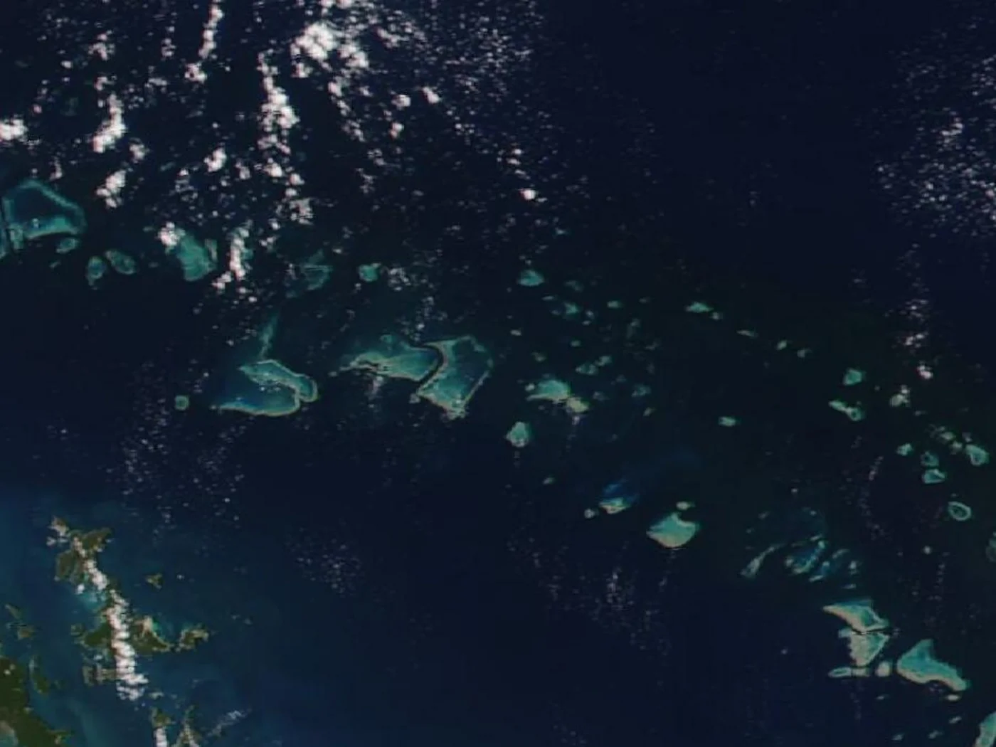
Queensland's coastline runs alongside the Great Barrier Reef for more than 2,300km, the largest coral reef system on Earth and clearly identifiable from orbit by its turquoise reef structures against the deep blue of the Coral Sea. Commercial imagery supports reef monitoring, coastal development tracking, and agriculture across the state's sugar cane and cattle country, while cloud cover, common in Queensland's tropical north, is the main reason an optical capture over the reef can be delayed.
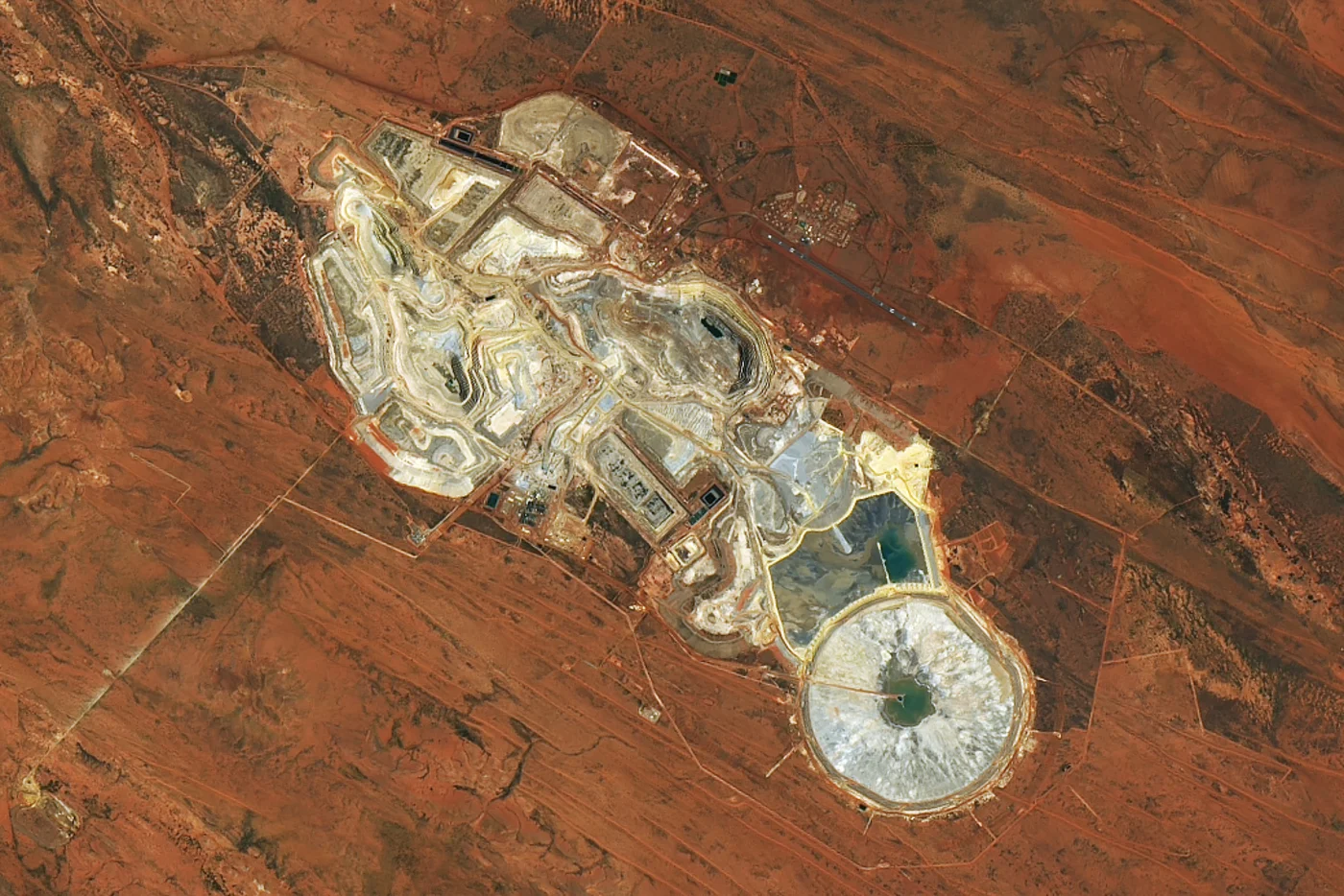
Western Australia covers roughly a third of the continent's land area and holds most of the country's iron ore and gold production, concentrated in the Pilbara and around Kalgoorlie. The image below shows a real Western Australian open-pit mine from orbit, the kind of site-level detail commercial tasking delivers for mine planning, tailings monitoring, and production tracking across the state's remote mining regions.
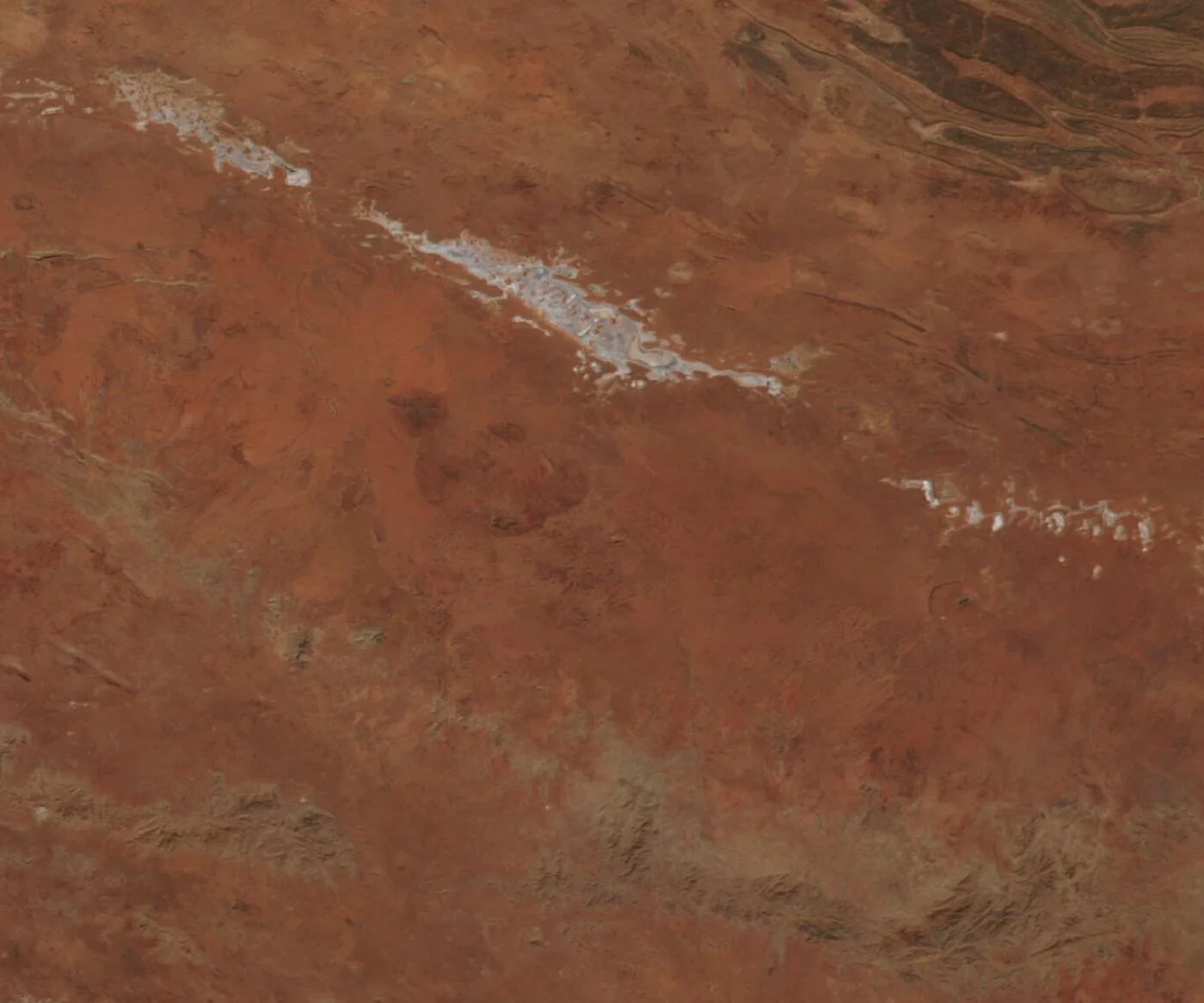
The Northern Territory holds the Red Centre, the arid heart of the continent and home to Uluru-Kata Tjuta, plus Kakadu's wetlands and Darwin's tropical north. The salt lake system below illustrates the Red Centre's desert landscape; a feature this size is visible at wide-area resolution, but resolving Uluru itself, roughly 3km across, requires the sub-meter commercial imagery searchable above.
High-resolution satellite images and maps of Australia are available from multiple commercial constellations, so coverage isn't limited to a single sensor or date. Coverage extends across every state and territory, New South Wales and the Sydney basin, Victoria and Melbourne, Queensland and the Great Barrier Reef coast, Western Australia's Pilbara and Goldfields mining regions, South Australia's Outback and Flinders Ranges, Tasmania, the Northern Territory's Red Centre and Top End, and the Australian Capital Territory. Whether your area of interest is a single mine site in the Pilbara, a construction project in Melbourne, or a stretch of reef off Cairns, the same search and tasking tools on this page work anywhere in the country.
A satellite image of Australia shifts from dense coastal cities to the open Outback and coral reef within a few hundred kilometres. These places are all distinguishable in high-resolution satellite images of the country.
The Opera House's shell roofline sits on Bennelong Point, with the Harbour Bridge arching across the harbour immediately to its west, shown in the commercial sample above. At 25cm to 50cm, the individual sails of the roof and the bridge's arch and pylons are clearly resolved.
Uluru, the large sandstone monolith at the heart of the Red Centre, sits roughly 3km across, too small for free wide-area imagery to resolve but clearly identifiable in commercial sub-meter imagery, alongside the domed rock formations of Kata Tjuta 25km to its west.
Stretching over 2,300km along the Queensland coast, the reef's individual coral structures and lagoons are visible from orbit as pale turquoise patches against deep ocean blue, with commercial imagery resolving individual reef flats and cays in detail.
Melbourne's grid-pattern central business district sits at the mouth of the Yarra River on Port Phillip Bay, with the Docklands and the MCG's oval footprint both clearly distinguishable at commercial resolution.
These limestone sea stacks stand just offshore along Victoria's Great Ocean Road, small but well-defined targets against the Southern Ocean, resolved individually in sub-meter commercial imagery.
Western Australia's Pilbara hosts some of the world's largest iron ore mines, their red open pits, haul road networks, and rail lines to port clearly visible, as shown in the Western Australia image further down this page.
One of Australia's largest open-pit gold mines, in Western Australia's Goldfields region, its stepped benches and haul roads spanning several kilometres are unmistakable in commercial satellite imagery.
The Northern Territory's wetlands, escarpments, and floodplains in Kakadu show strong seasonal contrast between the wet and dry seasons, useful for tracking flooding extent and vegetation change across the park.
Satellite imagery of Australia supports work across a country defined by vast distances, a mining-heavy economy, and a long, varied coastline:
One search on this page covers multiple commercial constellations together. Which one you want comes down to how much detail the job needs, and how much of the country you need to cover.
These are the paid constellations you can search and task directly through the portal above, and the only ones that resolve individual buildings, vehicles, and mine equipment.
Imagery is priced per square kilometre by the resolution and capture mode you pick, so the practical question is how much detail the job actually needs. Sub-meter detail is where most mining, infrastructure, and site-level work starts.
Optical satellites need a clear sky, and Australia's size means conditions vary enormously by region on any given day. Distance, unlike for an aircraft, does not change the cost or difficulty of a satellite capture.
| Resolution | Source | Best For |
|---|---|---|
| 25cm-50cm panchromatic | Beijing-3 (21AT) / SuperView Neo (commercial) | Individual buildings, vehicles, and mine equipment |
| 1.2m multispectral | Beijing-3 (21AT) constellation (commercial) | Detailed site analysis with color/spectral data |
| Sub-meter to multi-meter | Gaofen satellites (archive) | Regional and nationwide mapping across Australia |