
High Resolution Satellite Imagery for Construction & Infrastructure
Buy high resolution satellite imagery for construction and infrastructure projects, from 25-30cm to 50m resolution. Track site progress, detect delays early and access engineering-grade 3D data from a constellation of 130+ satellites.
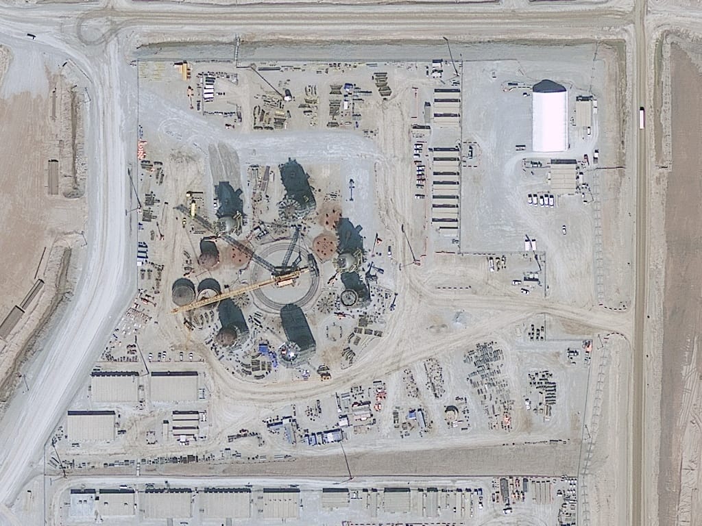
Satellite Sensors and Technical Specifications
For construction projects, spatial resolution, defined by the Ground Sampling Distance (GSD), is the most critical technical factor. GSD represents the ground area covered by a single pixel in an image. A 0.3 meter resolution means each pixel represents a square of 0.3 by 0.3 meters on the ground.
Very High Resolution (VHR) Optical Constellations
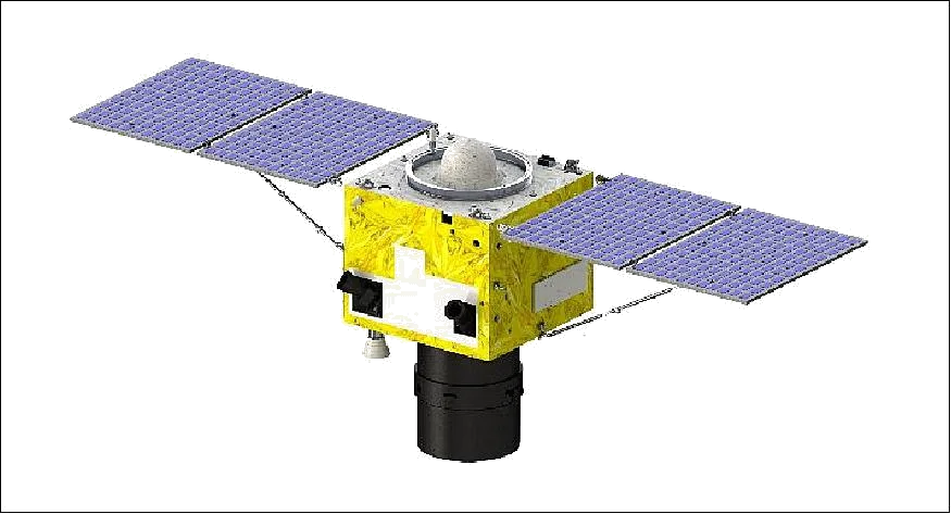 0.3m Resolution
SuperView Neo-1
The flagship constellation offering a native 30cm resolution, the sharpest commercially available tier. Provides daily revisits, allowing project managers to track rapid changes on a site.
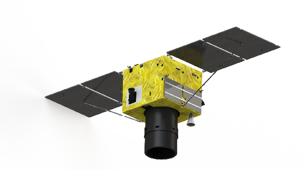 0.4m Resolution
SuperView-2 (GFDM)
An agile satellite offering 40cm resolution with a unique 1+8 spectral band configuration. Captures specialized bands like Red Edge and Yellow, useful for monitoring environmental impact and soil moisture around a site.
 0.5m Resolution
SuperView-1
A workhorse constellation with 50cm resolution and daily revisit capability anywhere on the globe. Features 5 to 8 meter CE90 geolocation accuracy for high horizontal precision.
 0.65m Resolution
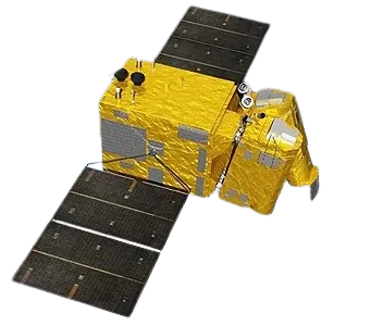
GF-7 (Stereo Mapping)
Designed specifically for engineering, providing 65cm resolution stereo imagery. Equipped with a laser altimeter that improves elevation accuracy, supporting 1:10,000 scale mapping.
Radiometric and Spectral Resolution
Bit Depth
Data is available in 8-bit, 11-bit and 16-bit depth. 8-bit supports visual inspection, while 16-bit depth is essential for scientific modeling and Top of Atmosphere corrections.
Multispectral Sensors
Capture Red, Green, Blue and Near-Infrared light, used to classify land use and monitor vegetation health near a construction site.
Infrared Sensors
Used for industrial monitoring, detecting heat patterns that identify hotspots in electrical infrastructure or thermal leaks in buildings.
Monitoring Construction Progress and Tracking Delays
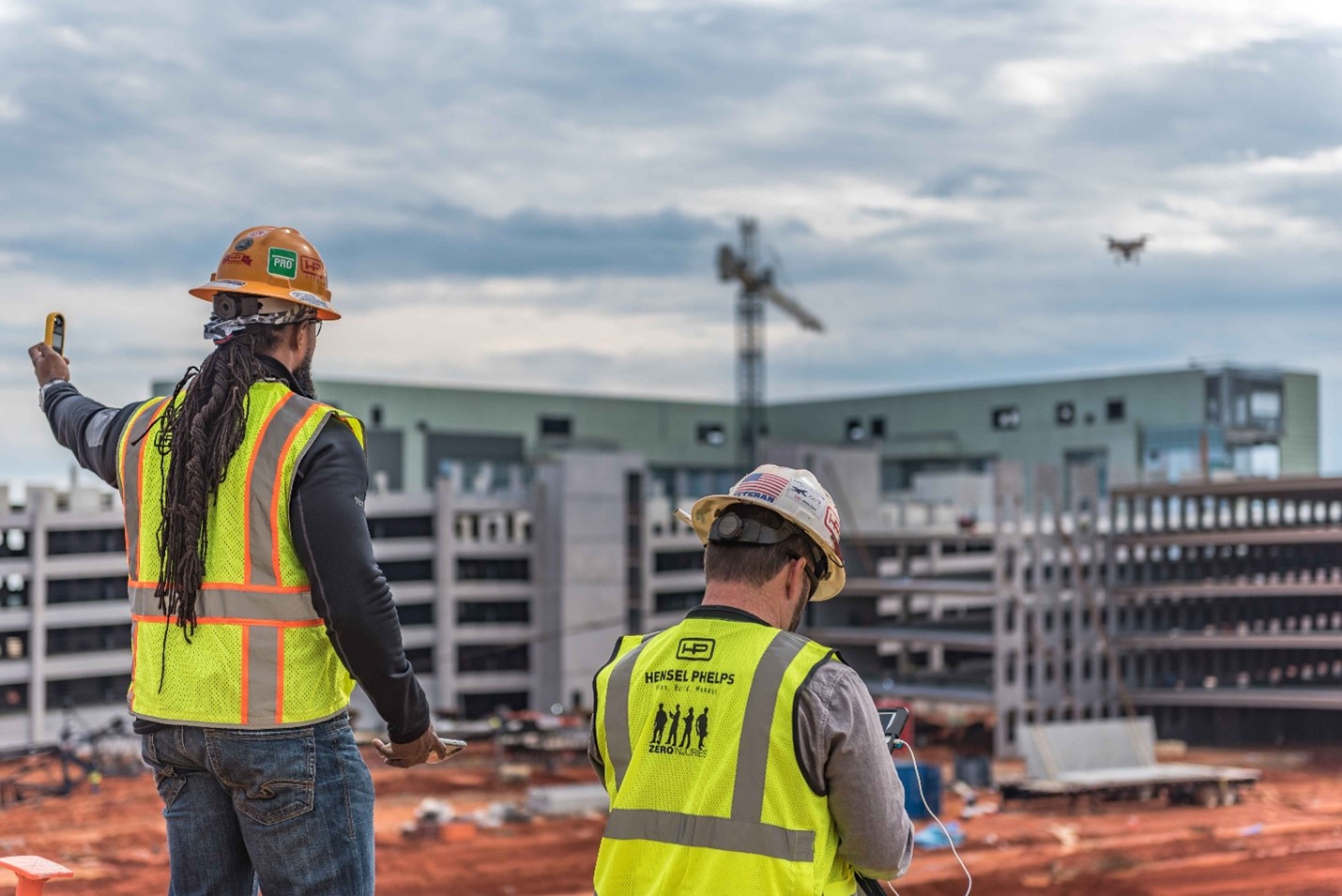
Satellite imagery replaces frequent, costly and risky on-site visits with a constant remote view of your project.
Timeline Tracking
Core BenefitMonitor construction progress against planned milestones with regular satellite updates.
Delay Detection
Core BenefitSpot slowdowns, weather impacts and stoppages early to prevent critical deadline risks.
Resource Planning
Core BenefitOptimize equipment use and team allocation using verified site activity data.
Contractor Performance Validation
Core BenefitSatellite data proves progress objectively, cuts overpayments and ensures fair evaluation.
Area Mapping and Value-Added 3D Products
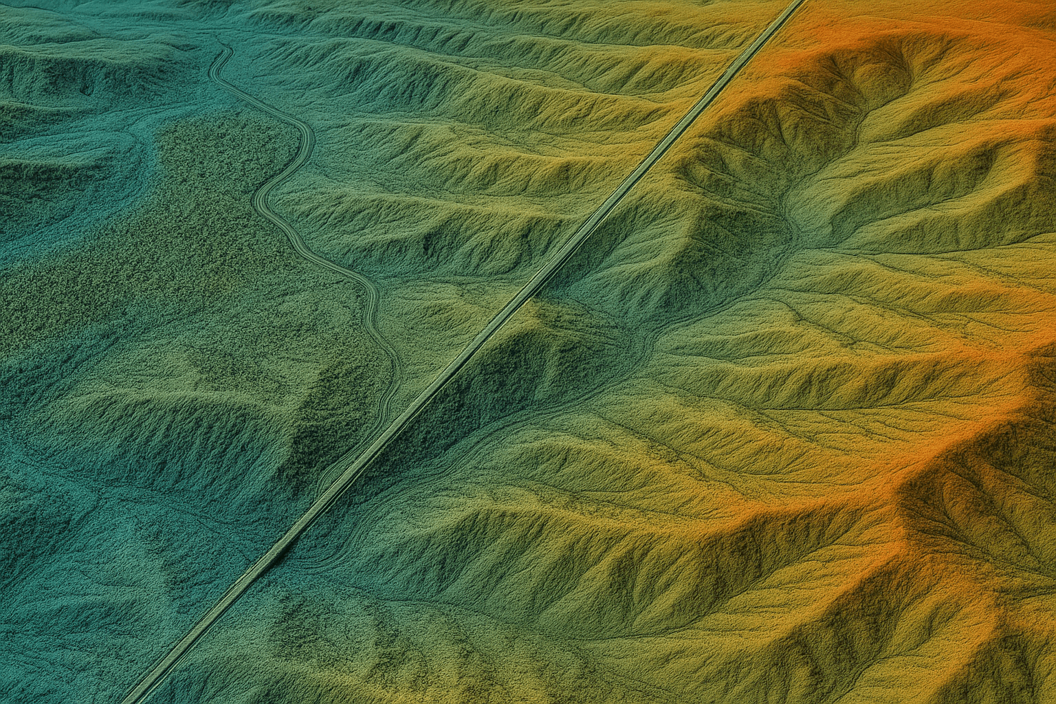
Raw satellite imagery is frequently processed into value-added products to provide the engineering-grade data required for infrastructure mapping.
DEM
A bare-earth model with man-made and natural features removed. Essential for hydrology and geological surveys.
DSM
Captures the top surface, including buildings and vegetation. Critical for line-of-sight analysis and urban planning.
DTM
Represents characteristic terrain features and breaklines, serving as the basis for advanced engineering.
Precision: These models feature 2 to 10 meter spacing with a vertical accuracy of ±3 meters RMSE.
Digital Orthophoto Maps (DOM): Geometrically corrected satellite images that remove distortion from terrain and camera angle, delivering 8m CE90 geolocation precision and 50cm resolution with pixel-perfect alignment to Earth's coordinates, ideal for mapping roads, building footprints and infrastructure into GIS and CAD environments.
3D City Models: AI-powered building contour extraction creates simplified 3D Building White Models with accurate height and shape data, commonly used as base data for large-scale urban displays and smart city planning.
Structural Monitoring via Radar (SAR and InSAR)
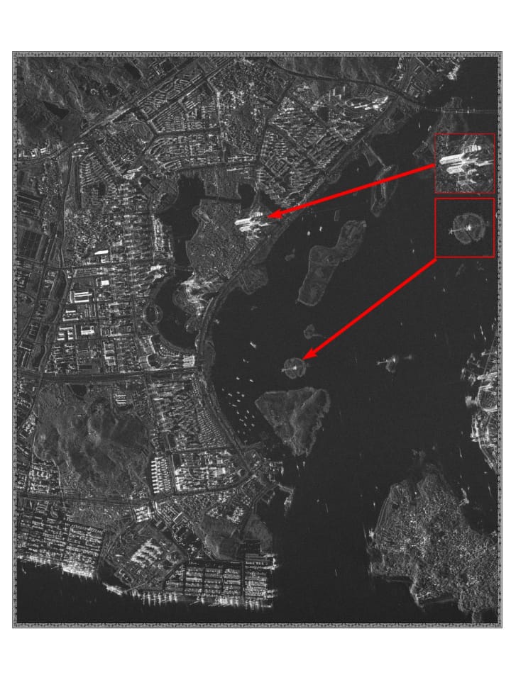
Traditional optical imagery is limited by weather and daylight. Synthetic Aperture Radar (SAR) can penetrate clouds, smoke and total darkness.
Millimeter-Level Deformation Monitoring
Using Interferometric SAR (InSAR), surface movements as small as 1 to 2 millimeters can be detected, a game-changer for critical infrastructure:
- Dams and Bridges: Monitor structural stability and detect subsidence before visible damage occurs
- Pipelines: Continuous monitoring of ground shifts and deformations to prevent leaks and accidents
- Urban Infrastructure: Periodic monitoring of pavements and railroads to identify hidden danger zones
Key Benefits for Construction Projects
Smart Planning
Evaluate site suitability for airports, dams or power plants before breaking ground.
Cost and Time Savings
Reduce travel time and labor costs by performing site tasks remotely.
Enhanced Safety
Identify potential hazards from a distance and limit on-ground exposure in hazardous zones.
Risk Management
Provide quantitative, data-backed evidence to de-risk investment decisions and support insurance claims.
Environmental Impact
Monitor changes in natural surroundings and support compliance with environmental regulations.
Resolution Tier Pricing (USD per km²)
| Resolution | Archive Imagery (90+ days old) | New Satellite Tasking |
|---|---|---|
| Super High (30cm) | $20/km² (min. 25km²) | $30/km² (min. 100km²) |
| Very High (50cm) | $13/km² (min. 25km²) | $20/km² (min. 100km²) |
| High (<1m) | $5/km² | $10/km² |
| Wide Area (2m) | $1/km² | $2/km² |
Collection Priority Tiers: for time-sensitive construction milestones, choose Priority Collection for guaranteed faster scheduling (e.g. $45/km² for 30cm) or Emergency Collection for the fastest possible turnaround on urgent inspections (e.g. $80/km² for 30cm).
Stereo and Tri-Stereo: Stereo imagery, used for 3D elevation models, costs 2x the mono imagery price. Tri-Stereo imagery, used for higher vertical accuracy in complex urban canyons, costs 3x the mono imagery price.
Licensing and Delivery
Project-Wide Licensing
Simplifies data sharing among different departments and subcontractors without extra fees.
Compatible Formats
Data is delivered in GeoTIFF, SHP, DWG, UTM and IMG formats, for seamless integration with ArcGIS, AutoCAD and other modeling workflows.
Global Reach
Command uploads can be sent to satellites worldwide within 3 hours, ensuring coverage even in remote areas.
Buy Satellite Imagery for Your Next Construction Project
Get instant pricing, choose your resolution tier and order archive or new tasking imagery in minutes.